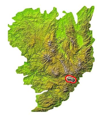
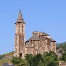
Mont Lozère, Mountain massif in Lozère, France
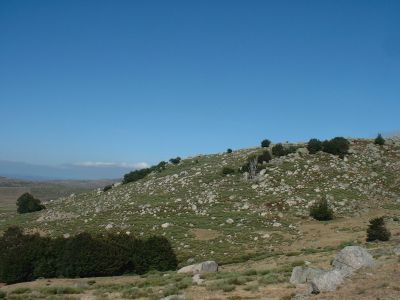
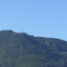
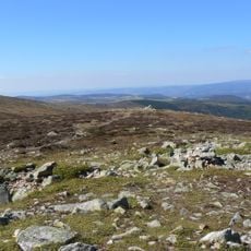
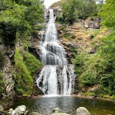
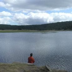
Mont Lozère is a granite massif in Lozère with its highest peak, Pic de Finiels, reaching 1,699 meters (5,575 feet). It forms the tallest point in Cévennes National Park and displays the rocky formations typical of the Massif Central region.
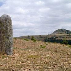
Ancient stone cairns called montjoies mark the old drove roads that shepherds and travelers have used for centuries. These markers guided people across the mountain long before modern maps and paths were created.
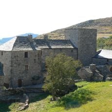
Shepherds still move their herds across the green pastures here during seasonal migrations, a practice that shapes how the land looks today. This ongoing use connects people directly to the mountain and its rhythms.
Marked hiking paths wind through the massif at various difficulty levels, and winter sports are possible when snow arrives. The GR70 long-distance trail crosses the summit, giving visitors a well-established route to follow.
The massif contains over a thousand natural bogs filled with plants found nowhere else on the mountain. Some of these wetland areas host carnivorous plants that have adapted to thrive in these specific conditions.
The community of curious travelers
AroundUs brings together thousands of curated places, local tips, and hidden gems, enriched daily by 60,000 contributors worldwide.