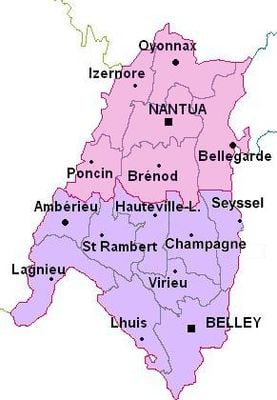
Bugey, Natural region in eastern Ain, France
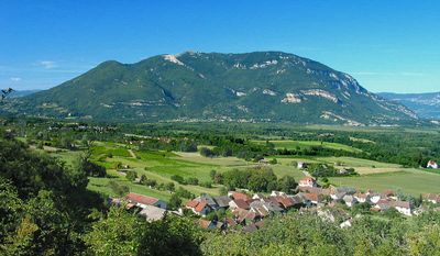
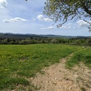
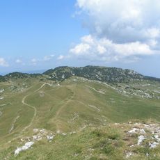
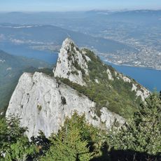
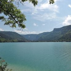
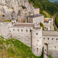
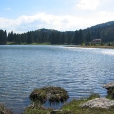
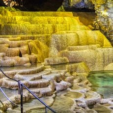
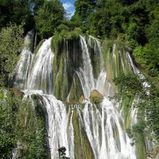
Bugey is a natural region in eastern Ain that stretches between Lyon and Geneva, containing valleys and hills with limestone formations curving around the Rhône River's loop. Vineyards and river valleys shape the overall layout, with different zones marked by varying elevations and geological features.
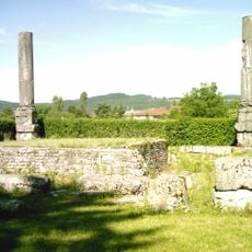
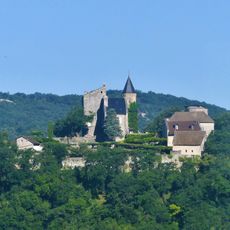
The territory remained under Holy Roman Empire control for centuries before passing to France through the Treaty of Lyon in 1601. This shift marked the end of Savoyard rule and the beginning of French political integration in the area.
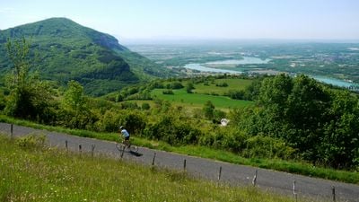
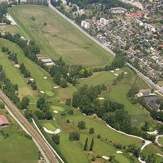
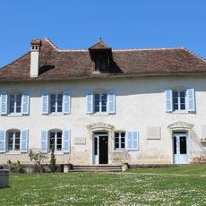
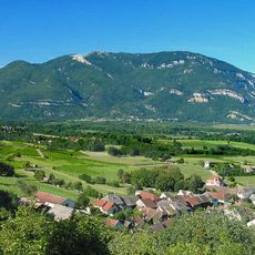
Wine production shapes the identity of the land, with vineyards covering the south-facing slopes and local varieties like Chardonnay and Pinot Noir becoming part of everyday life. The rhythm of grape growing and harvest remains central to how residents connect with their territory.
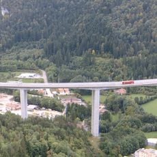
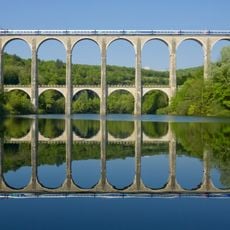
The Ligne du Haut-Bugey railway connects communities across the area and provides access to neighboring cities, making it easy to explore without a car. Following the natural terrain, the line passes through valleys and around hills, linking different parts of the region together.
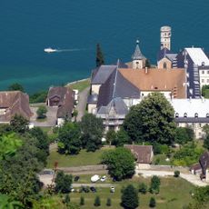
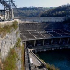
A nuclear power plant operates in the heart of the wine country, creating an unexpected partnership between modern energy production and centuries-old farming traditions. This contrast becomes visible when traveling through the landscape.
Location: Ain
GPS coordinates: 45.91667,5.61667
Latest update: December 17, 2025 09:43
France has entire territories that remain outside the usual tourist circuits. This collection brings together natural regions where life follows its own rhythm, away from the bustle of mainstream destinations. Here you find forested mountains like Morvan and the Vosges, volcanic plateaus in Cantal...
Lac du Bourget
28.2 km
Hautecombe Abbey
25.1 km
Royal monastery of Brou
42.9 km
Walibi Rhône-Alpes
33.1 km
Crêt de la Neige
46.7 km
Golf d'Aix-les-Bains
35.8 km
Génissiat Dam
21.4 km
Maison d'Izieu--Mémorial des enfants juifs exterminés
29.8 km
Dent du Chat
31.7 km
Lac de Nantua
27.4 km
Grand Colombier
11.3 km
Fort l'Écluse
31.2 km
Temple of Diana
34.3 km
Stade Marcel-Verchère
43.9 km
Viaduc de Nantua
25 km
Gallo-Roman temple in Izernore
34.4 km
Lac Genin
34.4 km
Saint-Nicolas-de-Tolentin church
42.9 km
Château des Allymes
17.2 km
Boomerang
33 km
Grottes de la Balme
27.3 km
Glacières de Sylans
27.1 km
Signal du Mont du Chat
32.7 km
Château de la Roche du Roi
34.9 km
Glandieu Fall
28 km
Château de Châtillon
21.8 km
Castle of Saint-Maurice-de-Rémens
26.8 km
Cize-Bolozon viaduct
35.6 kmVisited this place? Tap the stars to rate it and share your experience / photos with the community! Try now! You can cancel it anytime.
Discover hidden gems everywhere you go!
From secret cafés to breathtaking viewpoints, skip the crowded tourist spots and find places that match your style. Our app makes it easy with voice search, smart filtering, route optimization, and insider tips from travelers worldwide. Download now for the complete mobile experience.
A unique approach to discovering new places❞
— Le Figaro
All the places worth exploring❞
— France Info
A tailor-made excursion in just a few clicks❞
— 20 Minutes