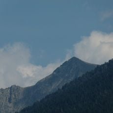
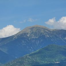
Pic dels Gorgs, Mountain peak in Fontpédrouse, France
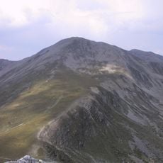
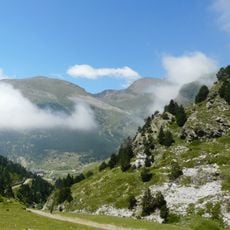
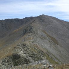
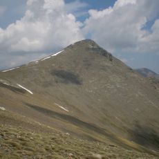
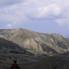
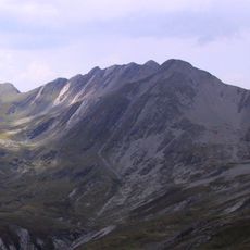
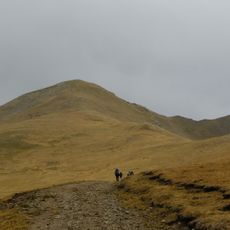
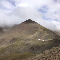
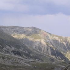
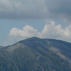
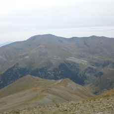
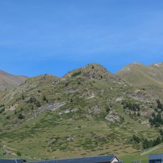
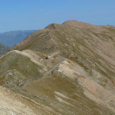
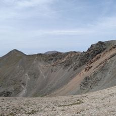
Pic dels Gorgs is a mountain summit in the French Pyrenees located between the Canigó and Puigmal massifs at 2,843 meters elevation. The terrain features alpine meadows and rocky slopes crisscrossed by several marked hiking trails.
The mountain traditionally formed a boundary line between the communities of Censà, Oleta, and Noedes in the historical region of Conflent. This geographic division shaped settlement patterns and land use in the surrounding areas for centuries.
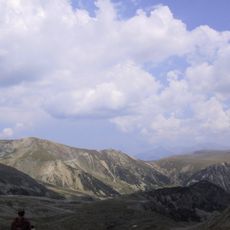
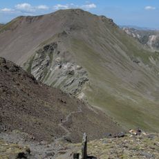
Shepherds still use the mountain slopes for seasonal grazing, following practices that have been part of life here for centuries. This traditional farming method shapes how the landscape looks and functions today.
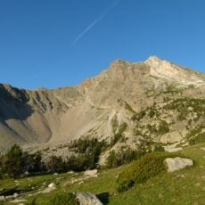
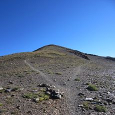
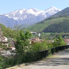
Multiple marked trails ascend to the summit starting from the village of Queralbs, with these routes among the most accessible in the area. Wear sturdy footwear and monitor weather conditions since the elevation can bring rapid shifts in conditions.
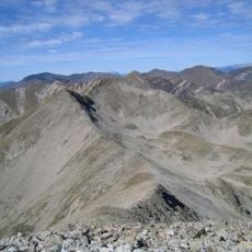
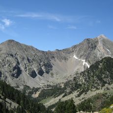
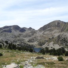
The mountain overlooks three distinct alpine lakes: Gorg Blau, Gorg Estelat, and Gorg Negre d'Èvol, each displaying different water colors. These colored lakes result from varying mineral compositions and lighting conditions at elevation.
The community of curious travelers
AroundUs brings together thousands of curated places, local tips, and hidden gems, enriched daily by 60,000 contributors worldwide.