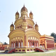
Hooghly district, Administrative district in West Bengal, India
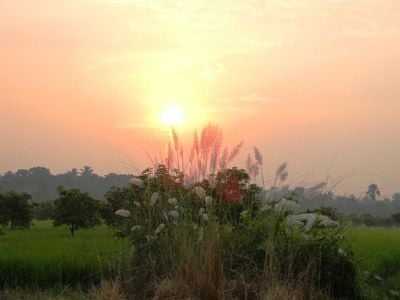
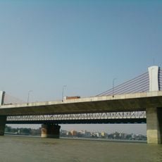
Hooghly is an administrative district in West Bengal that covers an area of more than 3,000 square kilometers and sits along the banks of the river of the same name. The district is divided into four administrative units, with Chinsurah serving as the capital and central point for administrative matters.
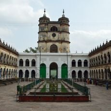
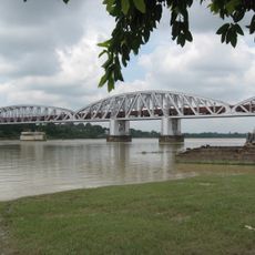
Portuguese traders received permission from Mughal Emperor Akbar in 1579 to establish a trading settlement in the region, marking the first European presence in Bengal. Later, Dutch, French and British forces arrived in the area, each establishing their own trading posts along the river.
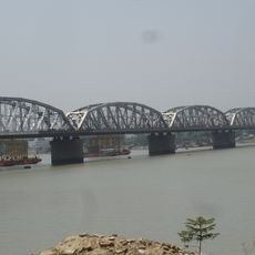
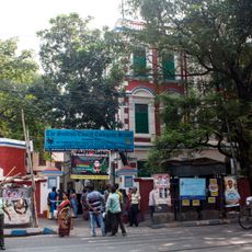
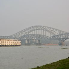
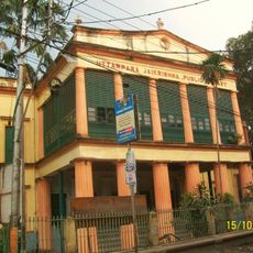
French colonial presence left its mark in Chandannagar, where you can walk along the riverside promenade and see old administrative buildings in European style. The district takes its name from the river that flows through it, whose banks have been settled for centuries.
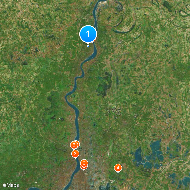
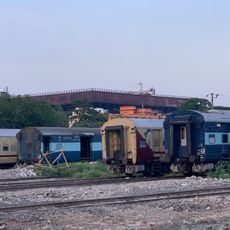
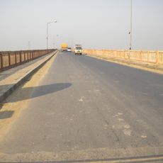
Visitors can explore the different towns along the riverbank, with train connections and roads providing access to all parts of the district. The area is well accessible during the day, and those planning to visit rural areas should keep in mind that unpaved roads can become difficult during monsoon season.
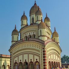
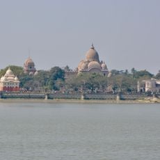
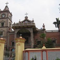
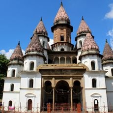
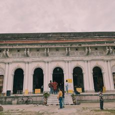
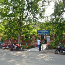
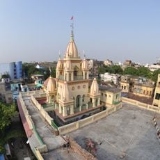
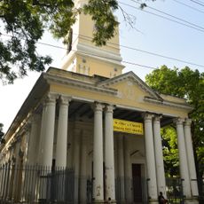
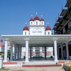
The church in Bandel was built by Portuguese traders in the late 16th century and is considered the first Christian place of worship in the region. Its bell tower is visible from the river and once served as a landmark for ships heading toward the port.
The community of curious travelers
AroundUs brings together thousands of curated places, local tips, and hidden gems, enriched daily by 60,000 contributors worldwide.