Chest opened
+${chestReward.xp} XP
Explorer
NOUVEAU ×${chestReward.collectible.quantity}
tapez pour fermer
Chest locked

Open chests in the app

Around Us is built for your phone — chests unlock when you walk, explore and capture nearby places.

Enable Location

We need your location to show you interesting places around you

Discover nearby places

Find interesting locations and hidden gems around you

Precise directions

Get accurate directions and distances to places

Your location is never shared with other users. It's only used when you tap the location button.

Baramulla

Log in to your account

Start exploring — it's free

Trusted by 72,876 travelers worldwide

Continue with Google
Continue with Apple
or

We will send you a code to connect

By continuing, you accept our Terms and Conditions and our Privacy Policy

Check your inbox

We've sent a pincode in your inbox. Please enter the code below.

Baramulla
Discussion Reviews 1 Photos
56.5k Popularity

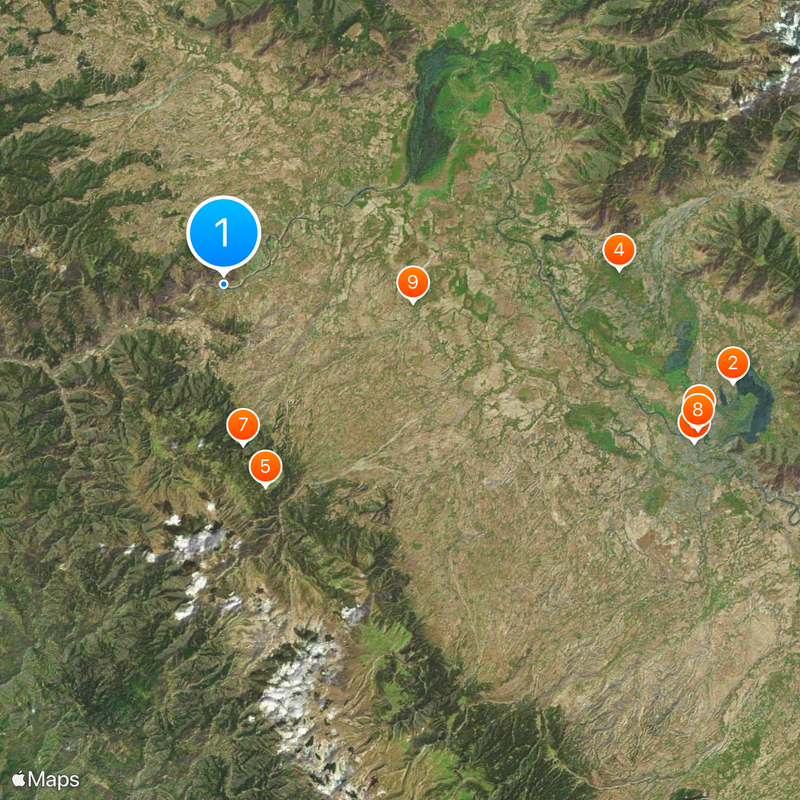
Baramulla, Administrative city in Baramulla district, India

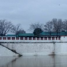
Baramulla sits on the course of the Jhelum River at an elevation of 1592 meters, framed by forested mountain slopes that shape northern Jammu and Kashmir. The settlement spreads along both banks, while narrow bridges link the center with outer neighborhoods.

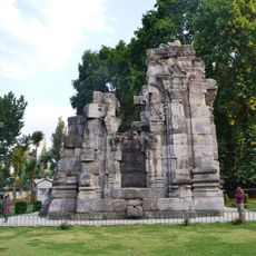
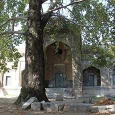
The founding dates back to 2306 BC, when Raja Bhimsina secured a passage between Muzaffarabad and the valley. Over the centuries, it remained a crossing point for traders and pilgrims moving between the high mountains and the plains.

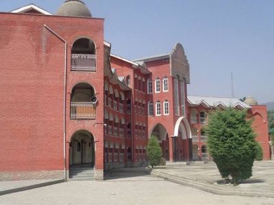
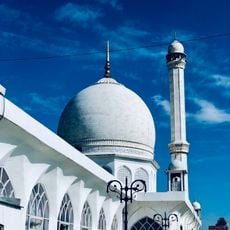
The city's name comes from a local tradition referring to an ancient gate or passage that guided travelers into the valley for centuries. Today, streets and markets bring together influences from several religious communities living and working side by side.

The railway station links the city to Srinagar, Anantnag, and Qazigund, offering regular connections to other valleys. Future extensions are planned to reach Banihal and continue toward Jammu.

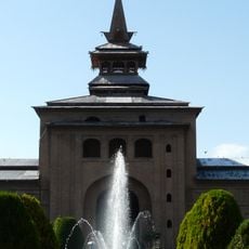
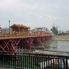
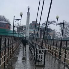
An entire park was built on an island in the middle of the Jhelum, offering shaded paths between old trees and river inlets. Visitors reach the grounds by a narrow footbridge visible from both banks.

The community of curious travelers

AroundUs brings together thousands of curated places, local tips, and hidden gems, enriched daily by 60,000 contributors worldwide.

Start exploring
Elevation above the sea
1,592 m
GPS coordinates
34.20869,74.34350
Latest update
December 13, 2025 19:57
Reviews
Share your experience

No review yet

Discussions
Start a discussion...

No discussion yet

« Baramulla - Administrative city in Baramulla district, India » is provided by Around Us (aroundus.com). Images and texts are derived from Wikimedia project under a Creative Commons license. You are allowed to copy, distribute, and modify copies of this page, under the conditions set by the license, as long as this note is clearly visible.

Discover hidden gems everywhere you go!

From secret cafés to breathtaking viewpoints, skip the crowded tourist spots and find places that match your style. Our app makes it easy with voice search, smart filtering, route optimization, and insider tips from travelers worldwide. Download now for the complete mobile experience.

Around Us App Screenshot

A unique approach to discovering new places

Le Figaro

All the places worth exploring

France Info

A tailor-made excursion in just a few clicks

20 Minutes

Around Us
Travel Guide & Maps
Download

Send to your phone

QR Code
1

Open the camera app on your mobile.

2

Point at the QR code with your camera. A notification will appear.

3

Tap the notification to open the link.