Chest opened
+${chestReward.xp} XP
Explorer
NOUVEAU ×${chestReward.collectible.quantity}
tapez pour fermer
Chest locked

Open chests in the app

Around Us is built for your phone — chests unlock when you walk, explore and capture nearby places.

Enable Location

We need your location to show you interesting places around you

Discover nearby places

Find interesting locations and hidden gems around you

Precise directions

Get accurate directions and distances to places

Your location is never shared with other users. It's only used when you tap the location button.

Log in to your account

Start exploring — it's free

Trusted by 72,888 travelers worldwide

Continue with Google
Continue with Apple
or

We will send you a code to connect

By continuing, you accept our Terms and Conditions and our Privacy Policy

Check your inbox

We've sent a pincode in your inbox. Please enter the code below.

Khagaria
Discussion Reviews Photo
16.6k Popularity

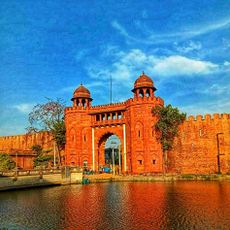
Khagaria, human settlement in Khagaria district, Munger division, Bihar, India

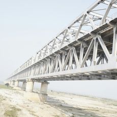
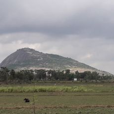
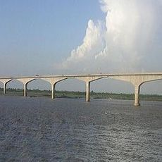
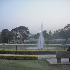
Khagaria is a town on the banks of the Kosi River in Bihar state, situated on flat fertile land shaped by rice fields, wheat cultivation, and pulse farming. The railway junction connects the town to other parts of Bihar and India, facilitating local trade and travel.

Khagaria grew as a small settlement based on farming and trading communities, with the railway line increasing its accessibility over time. The district was officially formed in 1981, becoming the region's administrative center while maintaining its traditional ways of life.

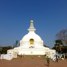
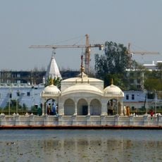
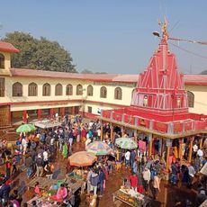
The name Khagaria may derive from a word meaning sky or bird, reflecting local spiritual beliefs. Residents gather at temples and along the riverbank for festivals like Chhath Puja, celebrating harvests and seasonal changes through music, dance, and community meals that pass traditions to younger generations.

The town is best reached by train via Khagaria Junction station, which connects to other parts of Bihar, or by buses and auto-rickshaws from nearby areas. The flat terrain and network of secondary roads make navigation relatively straightforward, though visitors should expect flooding during the monsoon season.

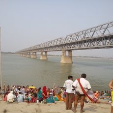
The Kosi River shapes daily life through its tendency to flood, yet communities have adapted by working together to protect each other and the land. This resilience in the face of nature's forces is an often overlooked aspect that defines the town's character.

The community of curious travelers

AroundUs brings together thousands of curated places, local tips, and hidden gems, enriched daily by 60,000 contributors worldwide.

Start exploring
Inception
May 10, 1981
Elevation above the sea
36 m
GPS coordinates
25.50000,86.48000
Latest update
February 17, 2026 02:01
Reviews
Share your experience

No review yet

Discussions
Start a discussion...

No discussion yet

« Khagaria - human settlement in Khagaria district, Munger division, Bihar, India » is provided by Around Us (aroundus.com). Images and texts are derived from Wikimedia project under a Creative Commons license. You are allowed to copy, distribute, and modify copies of this page, under the conditions set by the license, as long as this note is clearly visible.

Discover hidden gems everywhere you go!

From secret cafés to breathtaking viewpoints, skip the crowded tourist spots and find places that match your style. Our app makes it easy with voice search, smart filtering, route optimization, and insider tips from travelers worldwide. Download now for the complete mobile experience.

Around Us App Screenshot

A unique approach to discovering new places

Le Figaro

All the places worth exploring

France Info

A tailor-made excursion in just a few clicks

20 Minutes

Around Us
Travel Guide & Maps
Download

Send to your phone

QR Code
1

Open the camera app on your mobile.

2

Point at the QR code with your camera. A notification will appear.

3

Tap the notification to open the link.