Raghunathganj II community development block, Administrative block in Jangipur subdivision, India.
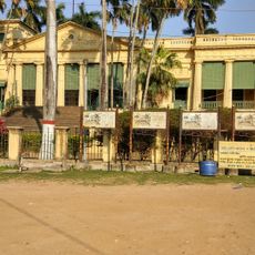
Raghunathganj II is an administrative block in West Bengal that encompasses both urban and rural areas with a mix of settlements. The region contains numerous schools ranging from primary to higher secondary level, serving educational needs across all age groups.
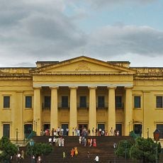
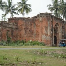
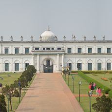
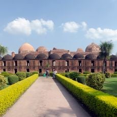
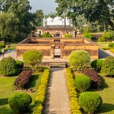
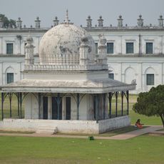
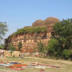
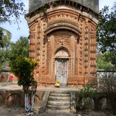
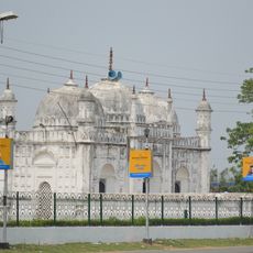
The area sits within the historic Rarh region and is shaped by its position on the western banks of the Bhagirathi River. This geography has influenced how the region developed and connected with surrounding areas over time.
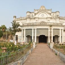
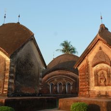
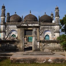
Muslim and Hindu communities share the space here, each maintaining distinct religious customs and observances in daily life. The coexistence of these traditions shapes social practices throughout the block.
The block has a good spread of schools at different levels, from primary through higher secondary, making education accessible across the region. It helps to know that these schools are scattered throughout various settlements, so planning visits or finding specific information should involve checking local details beforehand.
A significant portion of local workers engage in small household manufacturing, particularly the production of bidi cigarettes, which serves as an important income source for many families. These cottage-based businesses reflect how people in the area make their living outside of agriculture.
The community of curious travelers
AroundUs brings together thousands of curated places, local tips, and hidden gems, enriched daily by 60,000 contributors worldwide.