South Delhi Lok Sabha constituency, Parliamentary constituency in Delhi, India
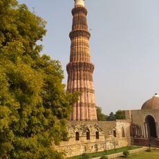
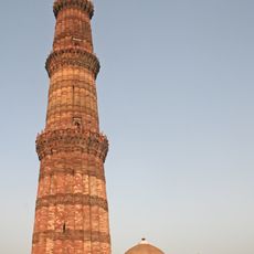
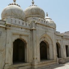
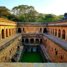
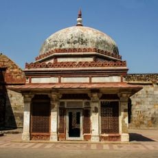
South Delhi Lok Sabha constituency is an electoral district spanning the southern part of the city, covering areas like Bijwasan, Palam, Mehrauli, Chhatarpur, Deoli, Ambedkar Nagar, Sangam Vihar, Kalkaji, Tughlakabad, and Badarpur. The region includes a mix of residential neighborhoods, commercial areas, and pockets of green space across different elevation zones.
The constituency was established in 1966 as India redefined its electoral boundaries. Major boundary changes occurred during 2008 delimitation, when the electoral limits were redrawn to reflect population shifts and demographic changes in the southern districts.
The area includes neighborhoods from wealthy residential zones to working-class communities, each with their own shops, temples, mosques, and gathering spaces that reflect how different groups live side by side. You'll notice how local markets, schools, and religious buildings serve as meeting points where people from different backgrounds interact daily.
To find information about the constituency boundaries and electoral updates, check the Election Commission of India website or local election offices. The area is spread across southern districts, so plan your route if you want to visit multiple neighborhoods and get a feel for the diverse neighborhoods within it.
The constituency has shifted political control between major parties across different elections, showing how voter preferences in this region shift with changing priorities. This pattern reflects how different neighborhoods respond differently to electoral campaigns and policy issues.
The community of curious travelers
AroundUs brings together thousands of curated places, local tips, and hidden gems, enriched daily by 60,000 contributors worldwide.