Enable Location

We need your location to show you interesting places around you

Discover nearby places

Find interesting locations and hidden gems around you

Precise directions

Get accurate directions and distances to places

Your location is never shared with other users. It's only used when you tap the location button.

Karimnagar

Log in to your account

Start exploring — it's free

Trusted by 63,527 travelers worldwide

Continue with Google
Continue with Apple
or

We will send you a code to connect

By continuing, you accept our Terms and Conditions and our Privacy Policy

Check your inbox

We've sent a pincode in your inbox. Please enter the code below.

Karimnagar
Discussion Reviews 3 Photos
84.4k Popularity

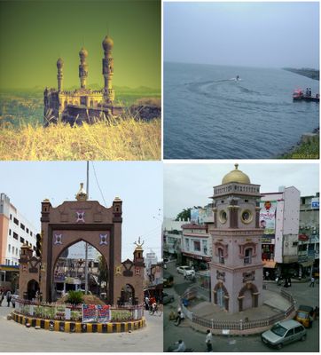
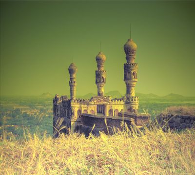
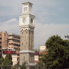
Karimnagar, Administrative center in Telangana, India

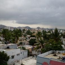
Karimnagar sits along the bank of the Manair River at an elevation of 265 meters (869 feet) and forms the second largest urban settlement in Telangana state. The town consists of several neighborhoods that spread along the river bend and surrounding flat areas.

The settlement originally carried the name Elagandala before being renamed Karimnagar during the Nizam period in 1905. The town gained municipal status at that time under the administration of Hyderabad State.

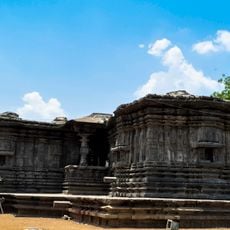
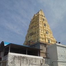
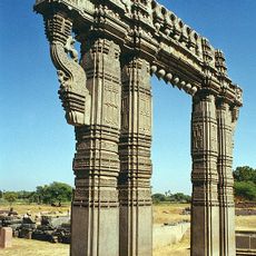
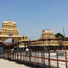
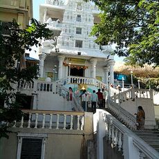
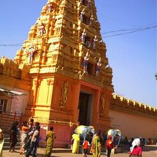
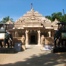
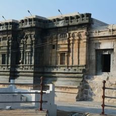
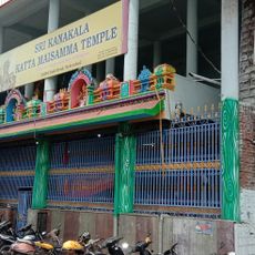
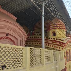
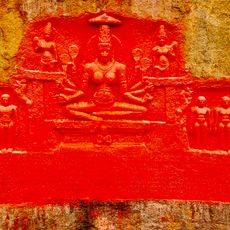
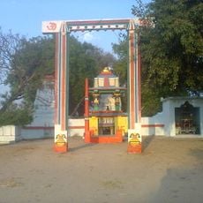
Residents speak Telugu in their everyday conversations and gather at temples during local festivals with traditional rituals. The town functions as a government center where administrative offices handle regional affairs throughout the week.

The town has road connections to larger regional centers and railway stations for long-distance travelers. Visitors find several accommodations and restaurants spread across different neighborhoods within the municipal area.

The region around the town holds more than 600 quarries extracting granite types such as Tan Brown and Maple Red. This stone industry contributes considerably to the local economy and supplies markets across the country.

The community of curious travelers

AroundUs brings together thousands of curated places, local tips, and hidden gems, enriched daily by 60,000 contributors worldwide.

Start exploring
Location
Karimnagar mandal
Inception
1905
Elevation above the sea
265 m
GPS coordinates
18.43554,79.13371
Latest update
December 13, 2025 16:15
Reviews
Share your experience

No review yet

Discussions
Start a discussion...

No discussion yet

« Karimnagar - Administrative center in Telangana, India » is provided by Around Us (aroundus.com). Images and texts are derived from Wikimedia project under a Creative Commons license. You are allowed to copy, distribute, and modify copies of this page, under the conditions set by the license, as long as this note is clearly visible.

Discover hidden gems everywhere you go!

From secret cafés to breathtaking viewpoints, skip the crowded tourist spots and find places that match your style. Our app makes it easy with voice search, smart filtering, route optimization, and insider tips from travelers worldwide. Download now for the complete mobile experience.

Around Us App Screenshot

A unique approach to discovering new places

Le Figaro

All the places worth exploring

France Info

A tailor-made excursion in just a few clicks

20 Minutes

Around Us
Travel Guide & Maps
Download

Send to your phone

QR Code
1

Open the camera app on your mobile.

2

Point at the QR code with your camera. A notification will appear.

3

Tap the notification to open the link.