Þjórsá, Glacial river in South Iceland
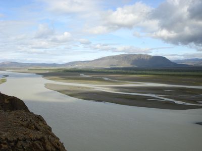
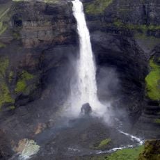
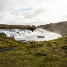
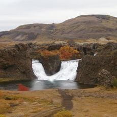
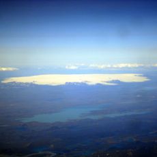
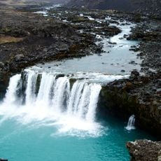
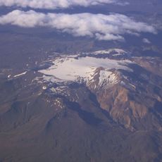
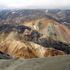
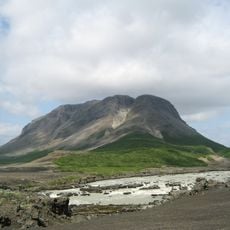
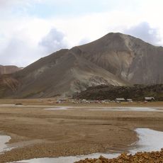
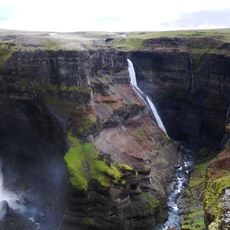
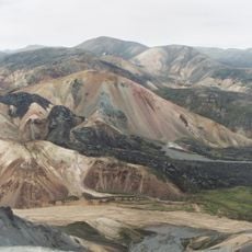
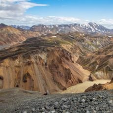
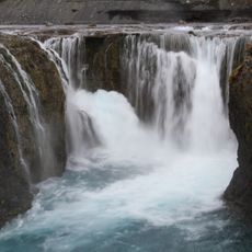
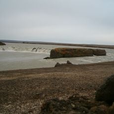
Þjórsá is a glacial river in South Iceland that flows over 230 kilometers from its source at Hofsjökull glacier through narrow gorges and volcanic valleys before reaching the Atlantic Ocean. The river travels through a landscape shaped by basalt formations and lava fields, marking its journey from the highlands to the sea.
According to the Book of Settlement, the river took its name from a bull-shaped prow statue on one of Iceland's first settlement ships. This naming reflects how the waterway was tied to Iceland's early history and seafaring traditions.
The island of Árnes in the middle of the river served as a traditional gathering place and gave its name to the surrounding administrative region Árnessýsla. This location held importance for local communities and shaped the political organization of the area.
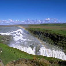
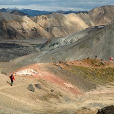
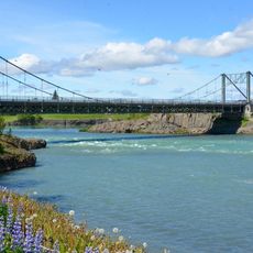
The Ring Road crosses the river via a bridge between the towns of Selfoss and Hella, providing convenient access to fishing spots and hiking routes in the surrounding area. Plan visits between May and September when trails are passable and water levels are more stable.
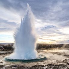
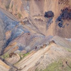
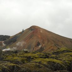
Around 8,700 years ago, a volcanic eruption altered the river's course and created the Great Þjórsá lava flow, separating it from the Ölfusá River. This dramatic geological shift shaped the modern landscape and reveals the volcanic forces that have long defined Iceland's geography.
The community of curious travelers
AroundUs brings together thousands of curated places, local tips, and hidden gems, enriched daily by 60,000 contributors worldwide.