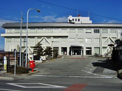
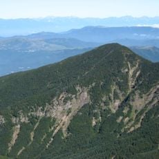
Hara, village in Suwa district, Nagano prefecture, Japan
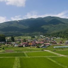
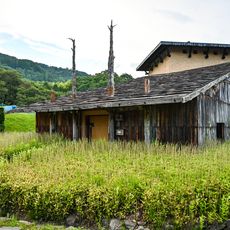
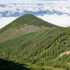
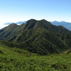
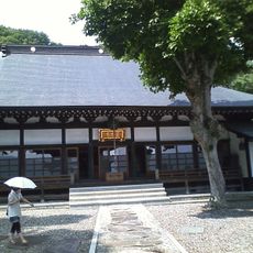
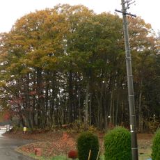
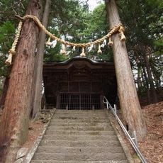
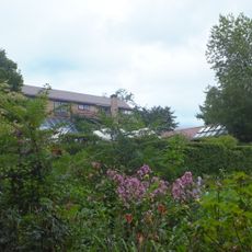
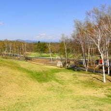
Hara is a village in the foothills of the Yatsugatake Mountains in Nagano Prefecture, surrounded by green fields and quiet countryside. The settlement is characterized by traditional storage houses with white walls, well-maintained old homes, and extensive rice paddies that shift in appearance throughout the seasons.
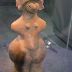
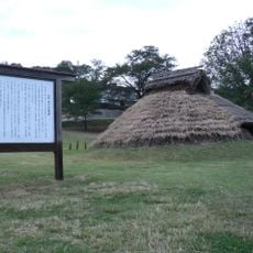
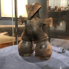
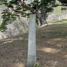
The area around Hara has been inhabited for over 10,000 years, as evidenced by archaeological sites containing ancient stones and tools. Over centuries, the village developed into an agricultural center, with traditional storage houses reflecting the region's enduring farming culture.
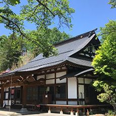
Hara is known for its traditional storage houses called Dozô, which have white plastered walls decorated with carved reliefs. These ornamental sculptures featuring animals, plants, and symbols once indicated a family's status and prosperity in the community.
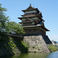
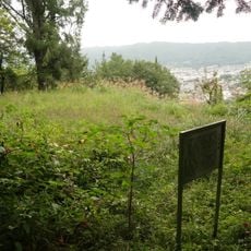
The best way to reach the village is by car from Nagano city or by taking the Limited Express Azusa train to nearby stations like Chino or Kamisuwa, from which you can rent a car. The higher elevation keeps the climate pleasantly cool in summer, and you can explore on foot or by bike along quiet field paths and country roads.
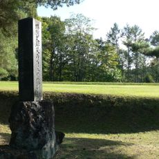
Near Hara lies a significant prehistoric site containing stones and tools over 15,000 years old, comparable to Stonehenge in England. This archaeological discovery reveals that the area is one of Japan's oldest inhabited regions.
The community of curious travelers
AroundUs brings together thousands of curated places, local tips, and hidden gems, enriched daily by 60,000 contributors worldwide.