Japan National Route 6, National highway in Tokyo and Chiba Prefecture, Japan
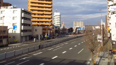
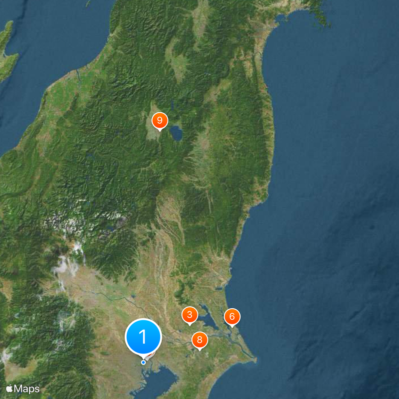
This highway runs for 353 kilometers along Japan's eastern coast, linking Tokyo with Sendai through five prefectures. The roadway passes through densely built urban areas, flat coastal stretches, and rural towns with rice fields and small fishing villages.
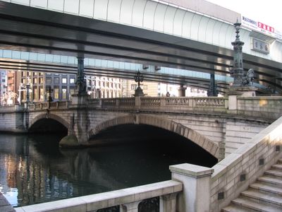
The route follows old trade paths from the Ritsuryō period and was formally designated as National Highway 6 in December 1952. After the Fukushima accident in 2011, large sections were closed and decontaminated before reopening in September 2014.
The name comes from the national numbering system for main highways established after World War II. Along the way, regional shops and roadside stalls offer local products typical of each prefecture the route crosses.
The route offers numerous rest stops and service stations as well as connections to other main highways along the eastern coast. Some sections near Fukushima remain under restrictions with regular monitoring and designated transit zones.
Some stretches pass through areas that were evacuated after 2011 and now allow limited access with radiation monitoring. Along these sections, abandoned buildings and overgrown fields remain visible, marking the time since evacuation.
The community of curious travelers
AroundUs brings together thousands of curated places, local tips, and hidden gems, enriched daily by 60,000 contributors worldwide.