Karaganda Region

Log in to your account

AroundUs is a community-driven map of interesting places, built by curious explorers like you. It grows with every review, story, and photo you share.
Connect to save your favorite spots, contribute locations, and create personalized routes.
Continue with Google
Continue with Apple
Continue with X
Continue with Facebook
Continue with email
By continuing, you accept our Terms and Conditions and our Privacy Policy
Create an account
Add to collection
Map
Suggest a change
Share

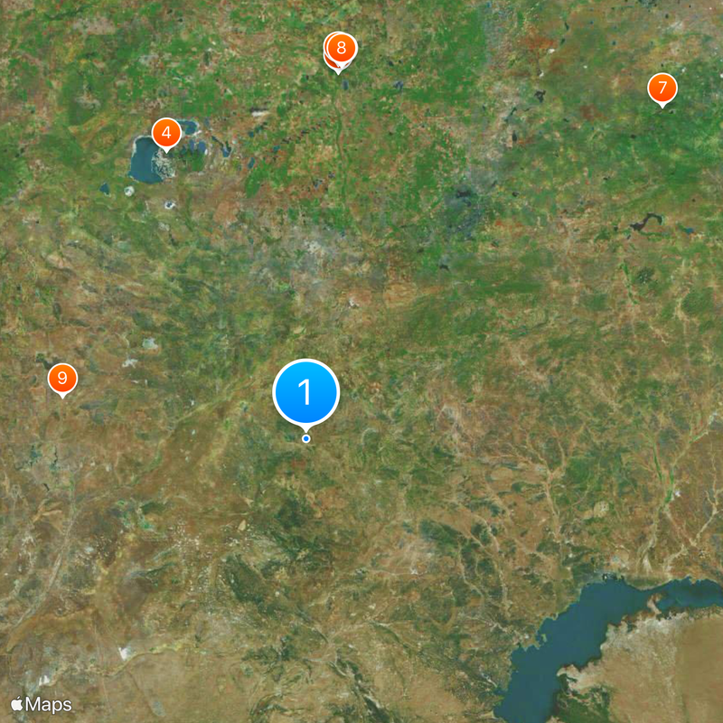
Karaganda Region, Administrative region in central Kazakhstan

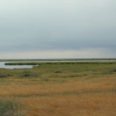
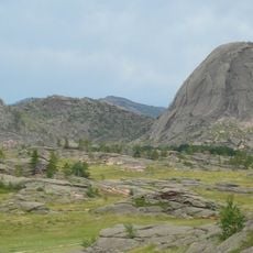
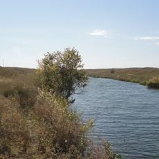
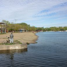
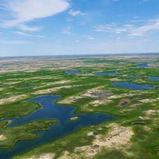
Karaganda Region is an administrative territory in central Kazakhstan, spreading across wide steppe areas, desert sections, and several rivers including the Nura. The territory includes both flat plains and mountain ranges that add height and contours to the otherwise open landscape.

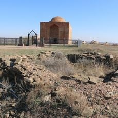
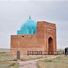
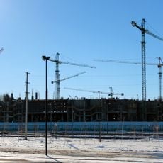
This territory formed during the 1930s when Soviet authorities developed large mining operations and built labor camps for political prisoners. Later, during the war years and deportations, new groups arrived from different parts of the Soviet Union, shaping the character of the territory as it is today.

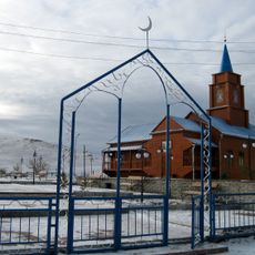
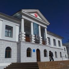
This region keeps alive the memory of different peoples who arrived here over decades, preserving their languages and customs in small local museums and cultural houses. Today, many villages still show Russian-style homes standing beside traditional Kazakh yurts and German farmhouses from the Soviet era.

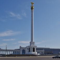
The territory connects through a network of highways and railway lines that run from the capital Astana in several directions. An international airport near Karaganda offers direct flights to multiple cities and makes arrival from abroad easier.

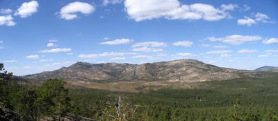
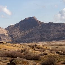
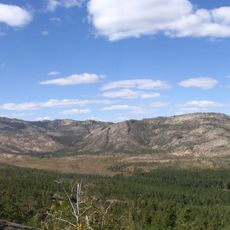
The Karkaraly National Park holds the Kyzylarai mountain range with peaks over 1500 m (4920 ft), standing as green islands in the otherwise dry steppe landscape. These mountains shelter forests and springs that provide habitat for many animal species rarely found elsewhere in the surrounding area.

Location: Kazakhstan

Inception: March 10, 1932

Capital city: Karaganda

Shares border with: Kostanay Region, Akmola Region, Pavlodar Region, East Kazakhstan Region, Almaty Region, Jambyl Region, Turkistan Region, Kyzylorda Region, Aktobe Region

Website: http://karaganda-region.gov.kz

GPS coordinates: 48.00000,71.00000

Latest update: December 14, 2025 22:47

Photos
Reviews

Visited this place? Tap the stars to rate it and share your experience / photos with the community! Try now! You can cancel it anytime.

« Karaganda Region - Administrative region in central Kazakhstan » is provided by Around Us (aroundus.com). Images and texts are derived from Wikimedia project under a Creative Commons license. You are allowed to copy, distribute, and modify copies of this page, under the conditions set by the license, as long as this note is clearly visible.

Discover hidden gems everywhere you go!

From secret cafés to breathtaking viewpoints, skip the crowded tourist spots and find places that match your style. Our app makes it easy with voice search, smart filtering, route optimization, and insider tips from travelers worldwide. Download now for the complete mobile experience.

Around Us App Screenshot

A unique approach to discovering new places

Le Figaro

All the places worth exploring

France Info

A tailor-made excursion in just a few clicks

20 Minutes