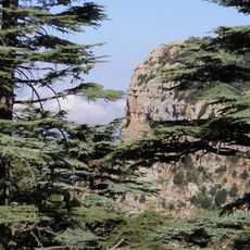
Beqaa Valley, Agricultural valley in eastern Lebanon
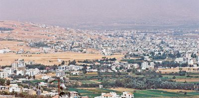
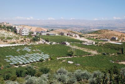
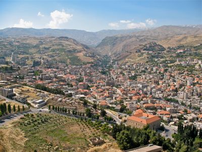
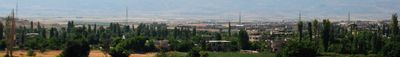
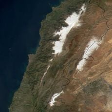
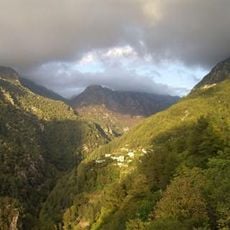
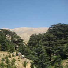
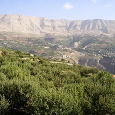
The Beqaa Valley lies between two mountain ranges in eastern Lebanon and stretches roughly 120 kilometers from north to south. It averages 16 kilometers in width and forms a broad plain with fields, vineyards and smaller settlements scattered along the flat valley floor.
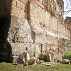
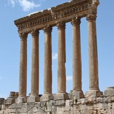
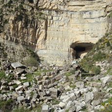
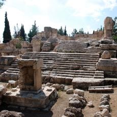
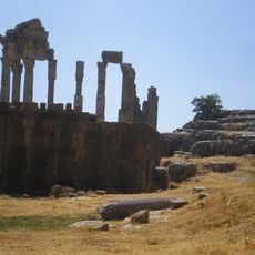
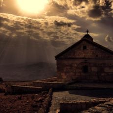
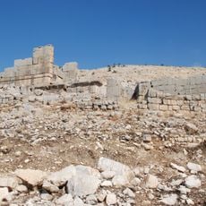
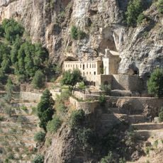
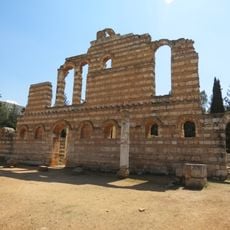
The valley was settled as early as 9000 years ago and supplied grain to Roman provinces starting in the 1st century BC. Over the centuries, control shifted among different empires, which repeatedly shaped trade routes and farming methods.
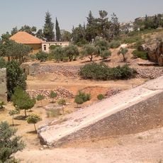
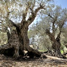
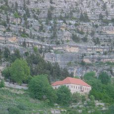
The name comes from an Arabic word meaning wide plain, and many families have farmed the same fields and vineyards for centuries. Visitors can still see traditional irrigation channels bringing water through terraced fields, supporting the cultivation of wheat, barley and fruit trees.
Several roads link the different towns within the valley to Beirut, with Zahle serving as the administrative center for the region. Travelers will find accommodations and restaurants along the main routes, especially in the larger towns near the vineyards.
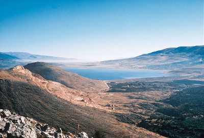
Two major rivers originate here and flow in opposite directions: the Orontes heads north toward Turkey while the Litani runs south toward the Mediterranean. This unusual watershed shapes irrigation systems and farming patterns in both parts of the valley.
The community of curious travelers
AroundUs brings together thousands of curated places, local tips, and hidden gems, enriched daily by 60,000 contributors worldwide.