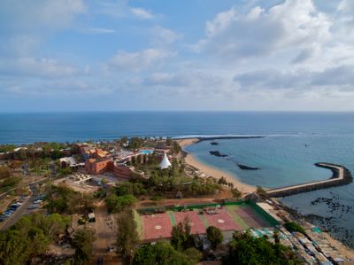
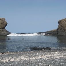
Pointe des Almadies, Westernmost headland of the Cap Vert peninsula in Dakar, Senegal
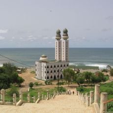
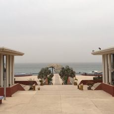
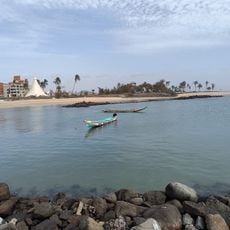
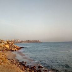
Pointe des Almadies is a rocky headland jutting into the Atlantic at the western tip of the Cap Vert peninsula, marking Africa's western extremity. The coastline features steep cliffs descending into the ocean, sheltered coves, fishing settlements, and seafood restaurants along the shore.
This headland served as a crucial reference point for European navigators during the colonial period and later became significant in international maritime boundary negotiations. Its geographic position helped establish navigational charts and played a role in defining territorial waters in the Atlantic.
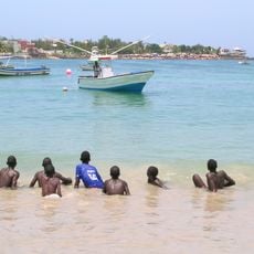
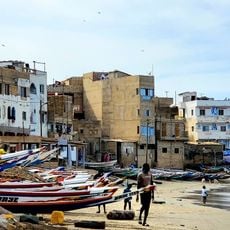
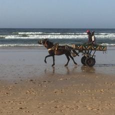
Fishing boats anchor in the sheltered coves where locals have worked the waters for generations. The beachfront restaurants prepare fresh catches using recipes passed down through families who have lived here for decades.
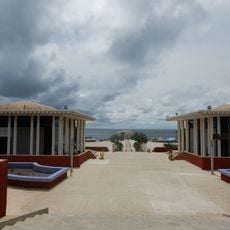
The site is accessible by car and has parking areas near the main viewpoints and restaurant locations. Visitors should check tide times since water levels affect which sections and coves are safely accessible throughout the day.
Ocean currents collide here creating zones of different water temperatures that support abundant fish populations. This makes the area a magnet for both fishermen and large seabirds that depend on the rich marine life.
The community of curious travelers
AroundUs brings together thousands of curated places, local tips, and hidden gems, enriched daily by 60,000 contributors worldwide.