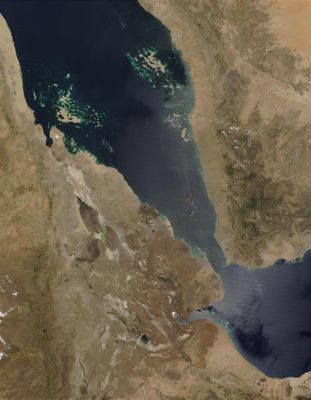
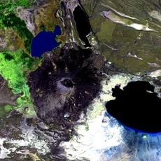
Afar Triangle, Geological depression at Ethiopia and Somalia frontier
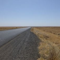
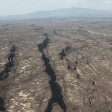
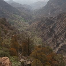
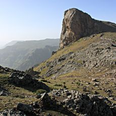
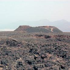
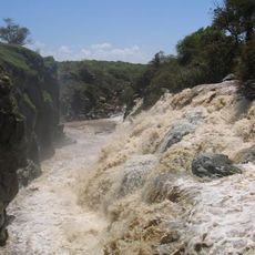
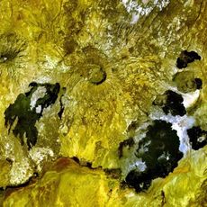
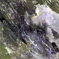
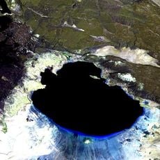
The Afar Triangle is a geological depression at the border between Ethiopia and Somalia, where three tectonic plates meet and create a sprawling landscape of volcanic peaks and wide salt flats. The lowland sits partially below sea level and extends across one of the driest regions on Earth.
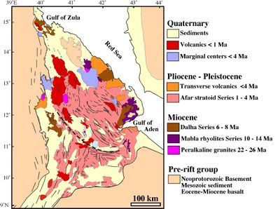
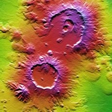
This depression began forming roughly 29 million years ago when the African plate started splitting apart and tectonic forces pushed the land downward. Since then, volcanic activity and erosion have continued reshaping the landscape.
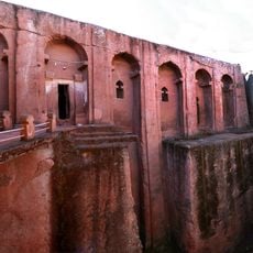
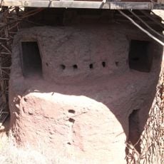
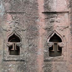
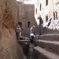
Herders move through the region with their animals and live in portable shelters that can be dismantled quickly when water sources run dry. Families follow traditional routes that have been passed down for generations, adapting their movements to seasonal changes.
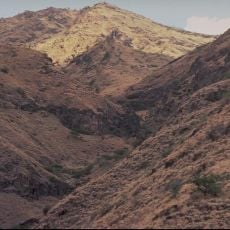
Heat remains intense throughout the year, and shade is scarce, so carrying enough water is essential for any journey through the area. The cooler months offer slightly milder conditions and make traversing the terrain somewhat easier.
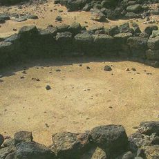
Researchers uncovered fossil remains of Ardipithecus ramidus, a human ancestor who lived 4.4 million years ago, near the Awash River. This discovery helped scientists understand how early hominids walked and lived in a changing environment.
The community of curious travelers
AroundUs brings together thousands of curated places, local tips, and hidden gems, enriched daily by 60,000 contributors worldwide.