Enable Location

We need your location to show you interesting places around you

Discover nearby places

Find interesting locations and hidden gems around you

Precise directions

Get accurate directions and distances to places

Your location is never shared with other users. It's only used when you tap the location button.

Gogebic County

Log in to your account

Start exploring — it's free

Trusted by 62,788 travelers worldwide

Continue with Google
Continue with Apple
or

We will send you a code to connect

By continuing, you accept our Terms and Conditions and our Privacy Policy

Check your inbox

We've sent a pincode in your inbox. Please enter the code below.

Gogebic County, Administrative division in Upper Peninsula, Michigan, United States.

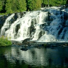
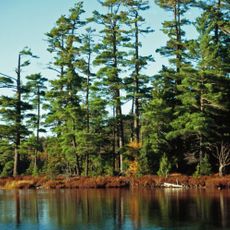
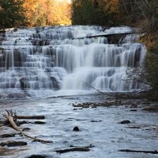
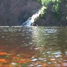
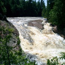
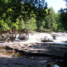
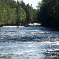
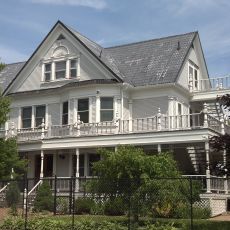
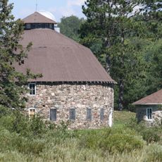
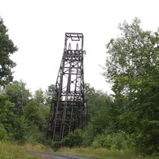
Gogebic County is an administrative division in Michigan's Upper Peninsula, spanning a large area with Lake Superior forming its northern boundary and Wisconsin marking its southern edge. The landscape features forests, inland lakes, and river valleys that shape the terrain.

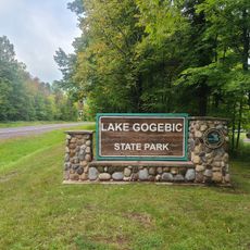
The county was created in 1887 when it separated from Ontonagon County, taking its name from Lake Gogebic, a term rooted in the Ojibwe language. This formation reflected the growing need to organize the Upper Peninsula administratively.

The Lake Superior Chippewa maintain a visible presence through the Lac Vieux Desert Indian Reservation, where you can see traditions and community practices continue today. This heritage shapes how people relate to the land and each other in the region.

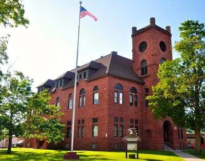
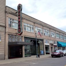
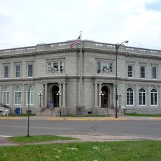
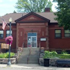
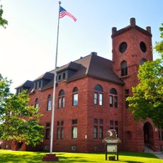
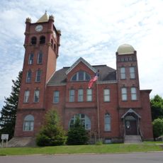
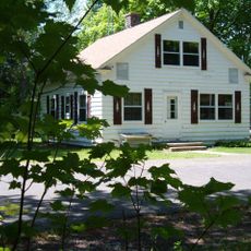
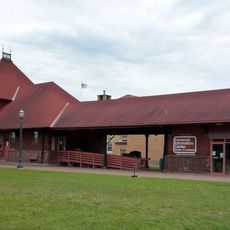
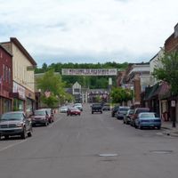
The area is managed by several county departments that handle administrative services, with offices and facilities distributed across different towns. Visitors will find that services and information centers are located in various communities throughout the region.

Lake Gogebic holds the distinction of being the largest inland lake in Michigan's Upper Peninsula, creating a significant body of water that shapes the local environment. The Montreal River, which marks the boundary with Wisconsin, is another notable water feature that characterizes the area.

The community of curious travelers

AroundUs brings together thousands of curated places, local tips, and hidden gems, enriched daily by 60,000 contributors worldwide.

Start exploring
Location
Inception
1887
Capital city
Bessemer
Shares border with
Ontonagon County, Iron County, Ashland County, Vilas County
GPS coordinates
46.48000,-89.79000
Latest update
December 23, 2025 22:13
Around this place
United States of America

Summerwind

42.2 km
Copper Peak
United States of America

Copper Peak

26.7 km
Bond Falls
United States of America

Bond Falls

51 km
Sylvania Wilderness
United States of America

Sylvania Wilderness

47.9 km
Agate Falls Scenic Site
United States of America

Agate Falls Scenic Site

53.6 km
United States of America

Black River

25.5 km
United States of America

Copper Country State Forest

50.7 km
Superior Falls
United States of America

Superior Falls

48.8 km
Ironwood Theatre
United States of America

Ironwood Theatre

29.2 km
United States of America

Manabezho Falls

28.9 km
United States of America

O Kun de Kun Falls

52.4 km
Great Conglomerate Falls
United States of America

Great Conglomerate Falls

26.5 km
Manido Falls
United States of America

Manido Falls

28.5 km
Nawadaha Falls
United States of America

Nawadaha Falls

28.2 km
Ironwood Memorial/Municipal Building
United States of America

Ironwood Memorial/Municipal Building

28.9 km
Ironwood Carnegie Library
United States of America

Ironwood Carnegie Library

29.5 km
Gogebic County Courthouse
United States of America

Gogebic County Courthouse

20.2 km
Solomon S. Curry House
United States of America

Solomon S. Curry House

28.6 km
Annala Round Barn
United States of America

Annala Round Barn

29.3 km
Rice Creek State Natural Area
United States of America

Rice Creek State Natural Area

35.2 km
Old Iron County Courthouse
United States of America

Old Iron County Courthouse

30.4 km
Bergland Administrative Site
United States of America

Bergland Administrative Site

20.5 km
Plummer Mine Headframe
United States of America

Plummer Mine Headframe

39.4 km
United States of America

Fort La Pointe

47.9 km
United States of America

Ernest J. and Edna Humphrey Farm

39.3 km
Planter Road – Jackson Creek Bridge
United States of America

Planter Road – Jackson Creek Bridge

14.3 km
Chicago and Northwestern Railroad Depot
United States of America

Chicago and Northwestern Railroad Depot

29.3 km
Lake Gogebic State Park Beach
United States of America

Lake Gogebic State Park Beach

17.2 km
Show the full map
Administrative divisions
« Gogebic County - Administrative division in Upper Peninsula, Michigan, United States » is provided by Around Us (aroundus.com). Images and texts are derived from Wikimedia project under a Creative Commons license. You are allowed to copy, distribute, and modify copies of this page, under the conditions set by the license, as long as this note is clearly visible.

Discover hidden gems everywhere you go!

From secret cafés to breathtaking viewpoints, skip the crowded tourist spots and find places that match your style. Our app makes it easy with voice search, smart filtering, route optimization, and insider tips from travelers worldwide. Download now for the complete mobile experience.

Around Us App Screenshot

A unique approach to discovering new places

Le Figaro

All the places worth exploring

France Info

A tailor-made excursion in just a few clicks

20 Minutes

Around Us
Travel Guide & Maps
Download

Send to your phone

QR Code
1

Open the camera app on your mobile.

2

Point at the QR code with your camera. A notification will appear.

3

Tap the notification to open the link.