
Randolph County, Administrative county in West Virginia, United States
Randolph County encompasses 1,040 square miles of land in West Virginia, featuring mountains, rivers, and diverse natural landscapes at an elevation of 692 meters.
The county formed from Harrison County in 1786 and received its name from Edmund Jennings Randolph, a delegate to the Continental Congress and Constitution drafter.
The county operates through three magisterial districts - Tygart, Cheat, and Elkins - each represented by commissioners who meet regularly to manage local affairs.
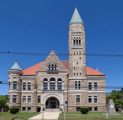
The county government provides essential services from the courthouse at 2 Randolph Avenue in Elkins, managing tax assessments and administrative procedures for 27,932 residents.
The territory includes multiple caves, such as Bowden Cave and Sinks of Gandy, alongside major waterways like the Tygart Valley River and Shavers Fork.
Location: West Virginia
Inception: October 16, 1786
Capital city: Elkins
Elevation above the sea: 692 m
Shares border with: Tucker County, Pendleton County, Pocahontas County, Webster County, Upshur County, Barbour County, Grant County
Website: http://randolphcountycommissionwv.org
GPS coordinates: 38.78000,-79.87000
Latest update: May 27, 2025 13:22
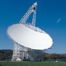
Green Bank Telescope
38.7 km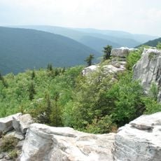
Dolly Sods Wilderness
49.7 km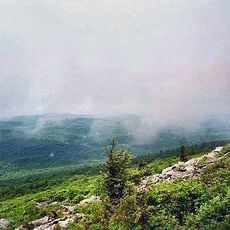
Spruce Knob
30.6 km
Monongahela National Forest
16.7 km
Cass Scenic Railroad State Park
42.8 km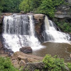
Blackwater Falls
48.9 km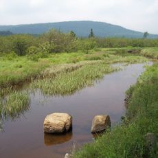
Canaan Valley Resort State Park
44.3 km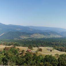
Germany Valley
41.7 km
Durbin and Greenbrier Valley Railroad
26.4 km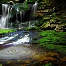
Elakala Falls
48.6 km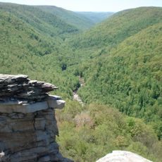
Blackwater Canyon
44.9 km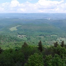
Bald Knob
37.4 km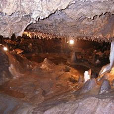
Seneca Caverns
41.8 km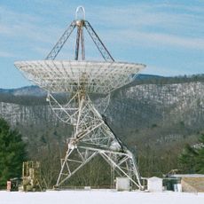
Green Bank Interferometer
38.7 km
Audra State Park
33.6 km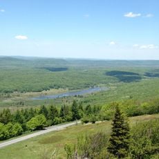
Canaan Valley National Wildlife Refuge
55.4 km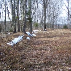
White Top
17.3 km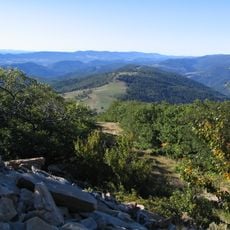
Roaring Plains West Wilderness
41.8 km
Otter Creek Wilderness
33.8 km
Bickle Knob
21 km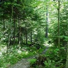
Gaudineer Scenic Area
17.1 km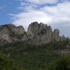
Spruce Knob-Seneca Rocks National Recreation Area
44 km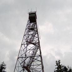
Olson Observation Tower
43.1 km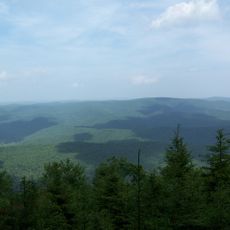
Gaudineer Knob
18.5 km
Shavers Mountain
33.5 km
Graceland
16.9 km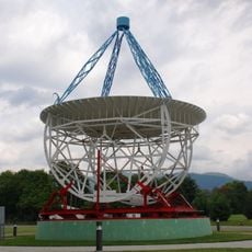
Reber Radio Telescope
39.2 km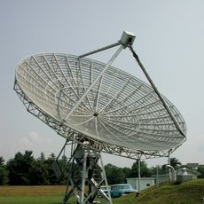
40-foot telescope
38.3 kmReviews
Visited this place? Tap the stars to rate it and share your experience / photos with the community! Try now! You can cancel it anytime.
Discover hidden gems everywhere you go!
From secret cafés to breathtaking viewpoints, skip the crowded tourist spots and find places that match your style. Our app makes it easy with voice search, smart filtering, route optimization, and insider tips from travelers worldwide. Download now for the complete mobile experience.

A unique approach to discovering new places❞
— Le Figaro
All the places worth exploring❞
— France Info
A tailor-made excursion in just a few clicks❞
— 20 Minutes