Chest opened
+${chestReward.xp} XP
Explorer
NOUVEAU ×${chestReward.collectible.quantity}
tapez pour fermer
Chest locked

Open chests in the app

Around Us is built for your phone — chests unlock when you walk, explore and capture nearby places.

Enable Location

We need your location to show you interesting places around you

Discover nearby places

Find interesting locations and hidden gems around you

Precise directions

Get accurate directions and distances to places

Your location is never shared with other users. It's only used when you tap the location button.

Minnesota River

Log in to your account

Start exploring — it's free

Trusted by 72,886 travelers worldwide

Continue with Google
Continue with Apple
or

We will send you a code to connect

By continuing, you accept our Terms and Conditions and our Privacy Policy

Check your inbox

We've sent a pincode in your inbox. Please enter the code below.

Minnesota River
Discussion Reviews 4 Photos
43.3k Popularity

Minnesota River, Major river in Minnesota, US

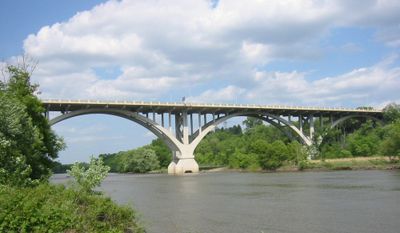
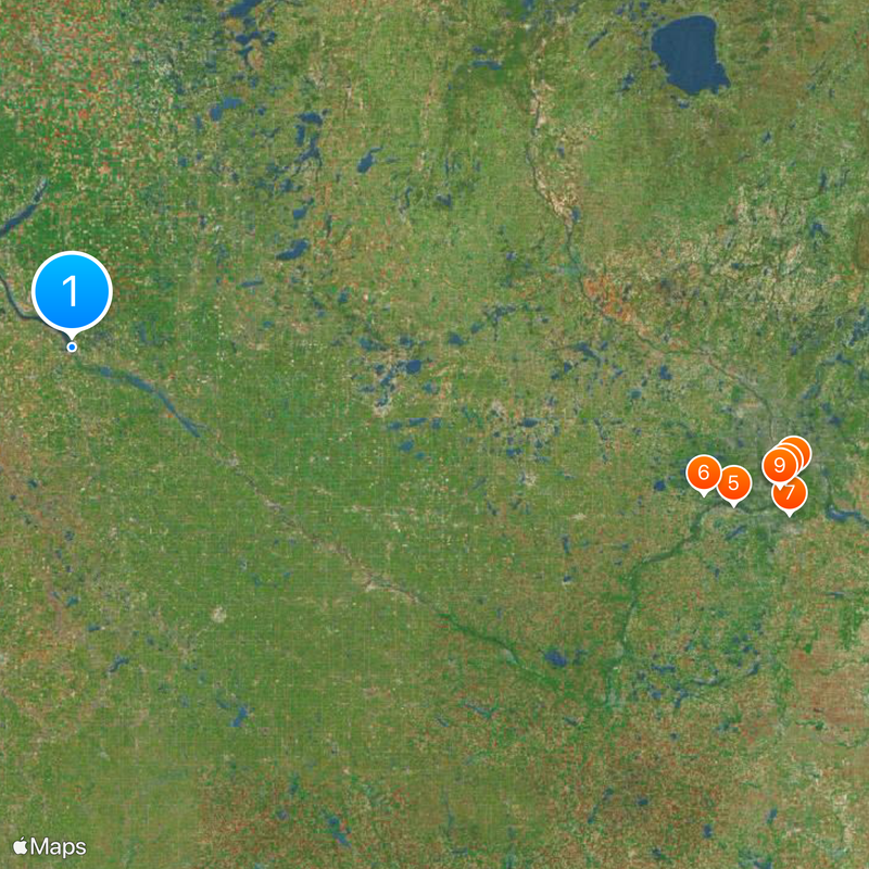
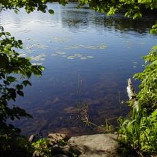
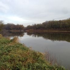
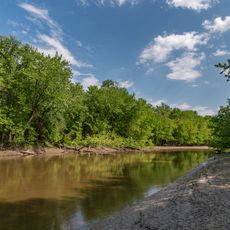
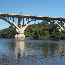
The Minnesota River is a river in Minnesota that flows southeast from Big Stone Lake for about 330 miles before joining the Mississippi at Fort Snelling. Multiple state parks and recreational areas line the water, offering access points for outdoor activities along its entire course.

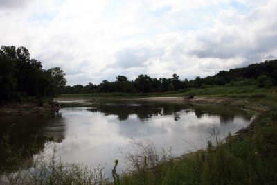
The river takes its name from the Dakota language phrase Mnisota Makoce, which Congress officially recognized in 1852. The valley was shaped by the ancient glacial River Warren, which carved the deep channels that define the landscape today.

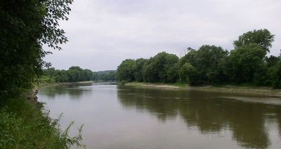
The valley serves as a working agricultural landscape where farming communities have developed their presence over generations. Visitors can see how the river supports both crop production and outdoor recreation across the region.

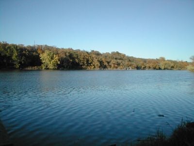
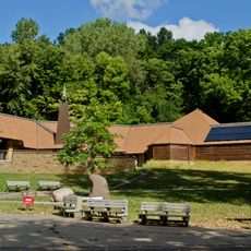
Access is easiest from spring through fall when trails and shorelines are in good condition for walking and exploring. Visitors should focus on the state parks, as they offer the best facilities and clear directions for safe outdoor activities.

The valley contains geological formations carved by the glacial River Warren, creating distinctive deep channels that remain visible today. These channels shape the visual character of the entire region and reveal how ice age forces reshaped the land.

The community of curious travelers

AroundUs brings together thousands of curated places, local tips, and hidden gems, enriched daily by 60,000 contributors worldwide.

Start exploring
Location
GPS coordinates
45.30274,-96.45200
Latest update
December 14, 2025 21:03
Around this place
Nickelodeon Universe
United States of America

Nickelodeon Universe

257.2 km
Metropolitan Stadium
United States of America

Metropolitan Stadium

257.2 km
Fort Snelling
United States of America

Fort Snelling

261.1 km
Valleyfair
United States of America

Valleyfair

242.5 km
Hazeltine National Golf Club
United States of America

Hazeltine National Golf Club

231.3 km
Minnesota Zoo
United States of America

Minnesota Zoo

262.7 km
Fort Snelling National Cemetery
United States of America

Fort Snelling National Cemetery

258.8 km
SpongeBob SquarePants Rock Bottom Plunge
United States of America

SpongeBob SquarePants Rock Bottom Plunge

257.1 km
Wild Thing
United States of America

Wild Thing

242.1 km
Water Park of America
United States of America

Water Park of America

256.3 km
SEA LIFE Minnesota Aquarium
United States of America

SEA LIFE Minnesota Aquarium

257.2 km
Minnesota Landscape Arboretum
United States of America

Minnesota Landscape Arboretum

228.3 km
Steel Venom
United States of America

Steel Venom

242.5 km
Log Chute
United States of America

Log Chute

257.2 km
Sea Life at Mall of America
United States of America

Sea Life at Mall of America

257.2 km
Lebanon Hills Regional Park
United States of America

Lebanon Hills Regional Park

264.9 km
Fort Snelling State Park
United States of America

Fort Snelling State Park

261.4 km
Pepsi Orange Streak
United States of America

Pepsi Orange Streak

257 km
Minnesota Valley National Wildlife Refuge
United States of America

Minnesota Valley National Wildlife Refuge

259 km
High Roller
United States of America

High Roller

242 km
Pike Island
United States of America

Pike Island

262.3 km
Renegade
United States of America

Renegade

241.7 km
Fairly Odd Coaster
United States of America

Fairly Odd Coaster

257.2 km
Corkscrew
United States of America

Corkscrew

242.1 km
Soak City
United States of America

Soak City

242.7 km
Wooddale Church
United States of America

Wooddale Church

243.1 km
United States of America

Dar Al-Farooq Islamic Center

255.5 km
Mendota Bridge
United States of America

Mendota Bridge

261.4 km
Show the full map
Reviews
Share your experience

No review yet

Discussions
Start a discussion...

No discussion yet

« Minnesota River - Major river in Minnesota, US » is provided by Around Us (aroundus.com). Images and texts are derived from Wikimedia project under a Creative Commons license. You are allowed to copy, distribute, and modify copies of this page, under the conditions set by the license, as long as this note is clearly visible.

Discover hidden gems everywhere you go!

From secret cafés to breathtaking viewpoints, skip the crowded tourist spots and find places that match your style. Our app makes it easy with voice search, smart filtering, route optimization, and insider tips from travelers worldwide. Download now for the complete mobile experience.

Around Us App Screenshot

A unique approach to discovering new places

Le Figaro

All the places worth exploring

France Info

A tailor-made excursion in just a few clicks

20 Minutes

Around Us
Travel Guide & Maps
Download

Send to your phone

QR Code
1

Open the camera app on your mobile.

2

Point at the QR code with your camera. A notification will appear.

3

Tap the notification to open the link.