Dolpa District, Administrative district in Karnali Province, Nepal
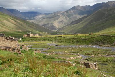
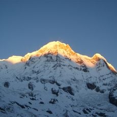
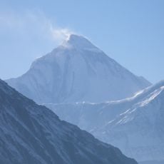
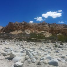
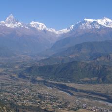
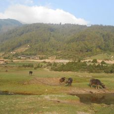
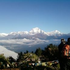
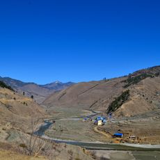
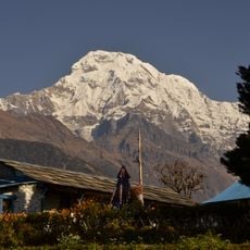
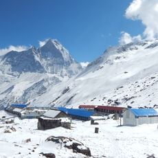
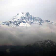
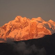
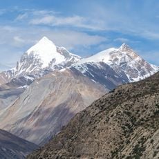
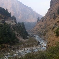
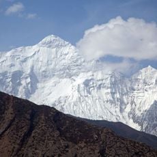
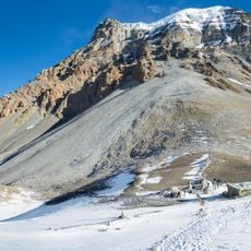
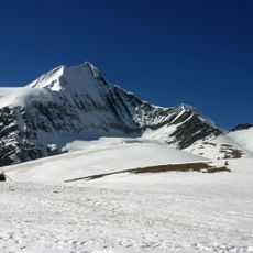
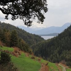
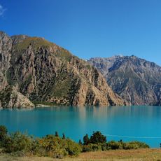
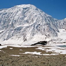
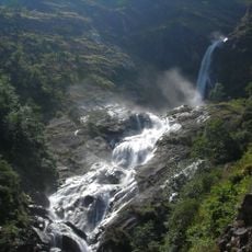
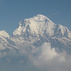
Dolpa District stretches across mountainous terrain with deep valleys and high peaks in northern Nepal. The land rises from forested lower areas to snow-covered summits where vegetation thins and rugged landscapes take over.
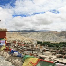
The district was established in 1962 and developed along ancient trading routes between Nepal and Tibet. These trade connections shaped how settlements are arranged and their role in the region.
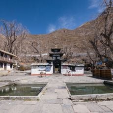
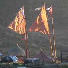
The communities here practice Buddhism and use their monasteries as gathering places woven into everyday life. Local groups maintain distinct traditions reflected in how they build their homes and celebrate throughout the year.
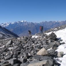
Travel here requires special permits and registration documents, particularly for remote northern areas. It makes sense to hire experienced local guides and prepare for challenging trekking conditions at high altitude.
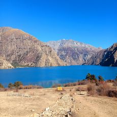
The area holds one of Nepal's deepest lakes within a protected national park. Rare animals like snow leopards and Tibetan wolves roam their natural habitat here.
Location: Karnali Zone
Location: Karnali Province
Website: http://ddcdolpa.gov.np
GPS coordinates: 28.93333,82.90000
Latest update: December 6, 2025 16:02
Nepal offers photographers an exceptional range of subjects, from the highest mountains on Earth to centuries-old religious sites. The Himalayan range dominates the northern regions, where trekkers head to Everest Base Camp and Annapurna Base Camp. At middle elevations, traditional mountain villages...
Annapurna Circuit
102.3 km
Annapurna
97.3 km
Muktinath Temple
95.5 km
Mustang
100.4 km
Dhaulagiri
63.2 km
Bala Tripura Sundari Temple
15.2 km
Mustang Caves
98.4 km
Annapurna Conservation Area
105.3 km
Dhorpatan Hunting Reserve
33.9 km
Gurja Himal
46.6 km
Sinja Valley
99.3 km
Annapurna South
99.8 km
Annapurna I East
98.1 km
Kanjiroba
55.5 km
Annapurna I Middle
98.3 km
Chandannath Temple
79.3 km
Khatung Kang
100.8 km
Kali Gandaki Gorge
76.9 km
Nilgiri North
86.7 km
Yakawa Kang
102.5 km
Sita Chuchura
59.4 km
Rara National Park
101.6 km
Phoksundo Lake
29.6 km
Shey Phoksundo National Park
47.6 km
Tilicho Peak
93.2 km
Rupse Falls
83.3 km
Dhaulagiri II
51.2 km
Kankre Bihar
81.2 kmVisited this place? Tap the stars to rate it and share your experience / photos with the community! Try now! You can cancel it anytime.
Discover hidden gems everywhere you go!
From secret cafés to breathtaking viewpoints, skip the crowded tourist spots and find places that match your style. Our app makes it easy with voice search, smart filtering, route optimization, and insider tips from travelers worldwide. Download now for the complete mobile experience.
A unique approach to discovering new places❞
— Le Figaro
All the places worth exploring❞
— France Info
A tailor-made excursion in just a few clicks❞
— 20 Minutes