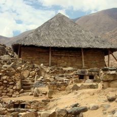
Umari District, district in Huánuco, Peru
Location: Pachitea Province
Inception: November 29, 1918
Elevation above the sea: 2,500 m
Shares border with: Chinchao, San Pablo de Pillao District, Chaglla District, Panao District, Molino District, Amarilis District, Santa María del Valle, Churubamba District
GPS coordinates: -9.86317,-76.04384
Latest update: March 6, 2025 01:38
Kotosh
26.9 km
Hombre de Lauricocha
87.9 km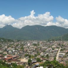
Tingo María National Park
54.4 km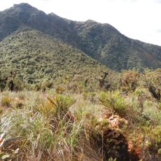
Yanachaga–Chemillén National Park
100.4 km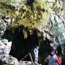
Cave of the owls
59.7 km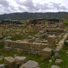
Huánucopampa
77.5 km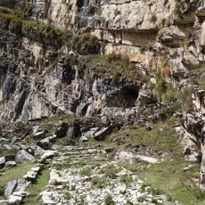
Cave of Lauricocha
82.4 km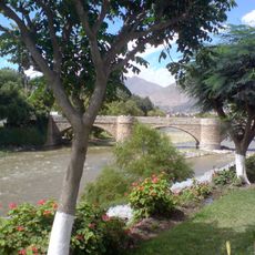
Puente Calicanto
22.7 km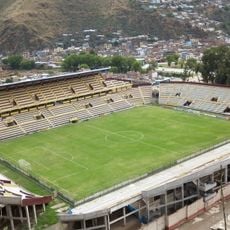
Estadio Heraclio Tapia
24.5 km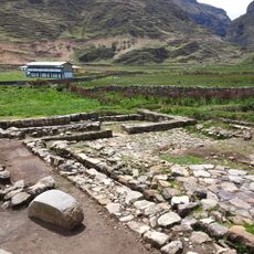
Warawtampu
86 km
Pumarinri
61.3 km
Piruro
90.3 km
Cruzpampa
99.3 km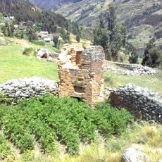
T'akaq
62.8 km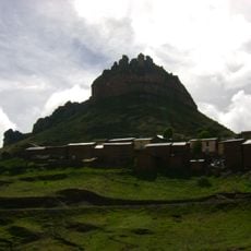
Laksha Warina
53.2 km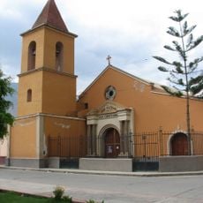
Iglesia de San Cristóbal, Huánuco
22.4 km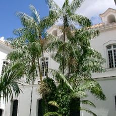
Jardín botánico de Tingo María
62.3 km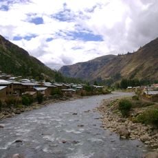
Urqumayu
77.7 km
Waqurunchu
75.3 km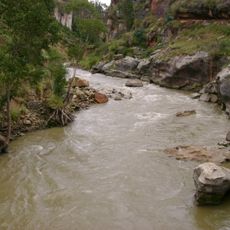
Lawriqucha River
71.5 km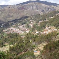
Ahuila Gencha Machay
100.2 km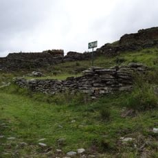
Garu
60.6 km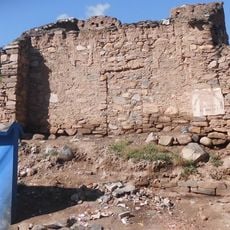
Shillacoto
23.9 km
Susupillu
86.5 km
Archaeological Center of Ichu Yanuna
8.4 km
Huaca Yarushpampa
86.1 km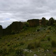
Mazur
61.3 km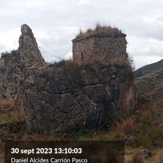
Goñicutac
81.7 kmReviews
Visited this place? Tap the stars to rate it and share your experience / photos with the community! Try now! You can cancel it anytime.
Discover hidden gems everywhere you go!
From secret cafés to breathtaking viewpoints, skip the crowded tourist spots and find places that match your style. Our app makes it easy with voice search, smart filtering, route optimization, and insider tips from travelers worldwide. Download now for the complete mobile experience.

A unique approach to discovering new places❞
— Le Figaro
All the places worth exploring❞
— France Info
A tailor-made excursion in just a few clicks❞
— 20 Minutes