Enable Location

We need your location to show you interesting places around you

Discover nearby places

Find interesting locations and hidden gems around you

Precise directions

Get accurate directions and distances to places

Your location is never shared with other users. It's only used when you tap the location button.

Oneida County

Log in to your account

Start exploring — it's free

Trusted by 61,867 travelers worldwide

Continue with Google
Continue with Apple
or

We will send you a code to connect

By continuing, you accept our Terms and Conditions and our Privacy Policy

Check your inbox

We've sent a pincode in your inbox. Please enter the code below.

Oneida County, Administrative county in New York, United States.

Description

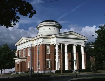
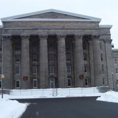
Oneida County is an administrative division in upstate New York with Utica serving as its main city and seat of government. The county encompasses diverse communities and landscapes across its territory, supporting hundreds of thousands of residents.

History

Established in 1798, this county was originally much larger before neighboring counties separated from its territory. These divisions gradually shaped the region into its present form.

Culture

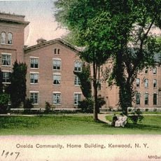
Welsh immigrants shaped the region during the 1800s, leaving their mark on churches and community buildings that still stand today. This heritage remains visible in certain neighborhoods where these traditions continue.

Practical

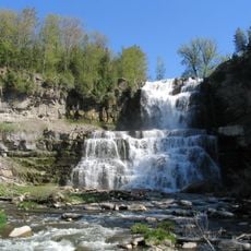
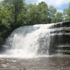
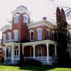
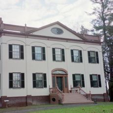
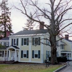
The county features a mix of urban and rural areas, with Utica as the central hub where most services and attractions are concentrated. Spring through fall offers the most comfortable conditions for exploring the diverse communities.

Did you know?

The Turning Stone Casino Resort ranks as the county's largest private employer and significantly influences local economic activity. This destination draws visitors from surrounding areas and shapes the modern character of the region.

Location
Inception
March 15, 1798
Capital city
Utica
Shares border with
Lewis County, Madison County, Herkimer County, Otsego County, Oswego County
GPS coordinates
43.24000,-75.44000
Latest update
December 14, 2025 18:02

AroundUs brings together thousands of curated places, local tips, and hidden gems, enriched daily by 60,000 contributors worldwide. Discover all places nearby (New York).

Around this place
International Boxing Hall of Fame
United States of America

International Boxing Hall of Fame

30.4 km
Fort Stanwix
United States of America

Fort Stanwix

3.5 km
Utica Psychiatric Center
United States of America

Utica Psychiatric Center

21.3 km
Chittenango Falls State Park
United States of America

Chittenango Falls State Park

44.1 km
Oneida Community Mansion House
United States of America

Oneida Community Mansion House

24.1 km
Munson
United States of America

Munson

22.7 km
Chenango Canal
United States of America

Chenango Canal

42.1 km
Verona Beach State Park
United States of America

Verona Beach State Park

23.3 km
Stanley Theater
United States of America

Stanley Theater

22.8 km
Oriskany Battlefield State Historic Site
United States of America

Oriskany Battlefield State Historic Site

9 km
Steuben Memorial State Historic Site
United States of America

Steuben Memorial State Historic Site

20.1 km
Pixley Falls State Park
United States of America

Pixley Falls State Park

19.6 km
Delta Lake
United States of America

Delta Lake

5.5 km
United States of America

Utica Zoo

23.6 km
United States of America

W.H. Dorrance House

26.9 km
United States of America

Rome Sand Plains

10.6 km
Farnam Mansion
United States of America

Farnam Mansion

23.8 km
Delta Lake State Park
United States of America

Delta Lake State Park

5.9 km
Lorenzo State Historic Site
United States of America

Lorenzo State Historic Site

49.4 km
Clinton Arena
United States of America

Clinton Arena

21.4 km
Trenton Falls
United States of America

Trenton Falls

23.7 km
Gerrit Smith Estate
United States of America

Gerrit Smith Estate

36.4 km
Utica Parks and Parkway Historic District
United States of America

Utica Parks and Parkway Historic District

24.6 km
United States of America

Fort Bull

5.4 km
Elihu Root House
United States of America

Elihu Root House

21.4 km
Balloon Farm
United States of America

Balloon Farm

36.8 km
United States of America

Forestport Tower

36.6 km
United States of America

Helen L. McNitt State Park

46.4 km
Show the full map
Administrative divisions
« Oneida County - Administrative county in New York, United States » is provided by Around Us (aroundus.com). Images and texts are derived from Wikimedia project under a Creative Commons license. You are allowed to copy, distribute, and modify copies of this page, under the conditions set by the license, as long as this note is clearly visible.

Discover hidden gems everywhere you go!

From secret cafés to breathtaking viewpoints, skip the crowded tourist spots and find places that match your style. Our app makes it easy with voice search, smart filtering, route optimization, and insider tips from travelers worldwide. Download now for the complete mobile experience.

Around Us App Screenshot

A unique approach to discovering new places

Le Figaro

All the places worth exploring

France Info

A tailor-made excursion in just a few clicks

20 Minutes

Around Us
Travel Guide & Maps
Download

Send to your phone

QR Code
1

Open the camera app on your mobile.

2

Point at the QR code with your camera. A notification will appear.

3

Tap the notification to open the link.