Enable Location

We need your location to show you interesting places around you

Discover nearby places

Find interesting locations and hidden gems around you

Precise directions

Get accurate directions and distances to places

Your location is never shared with other users. It's only used when you tap the location button.

Perry County

Log in to your account

Start exploring — it's free

Trusted by 61,828 travelers worldwide

Continue with Google
Continue with Apple
or

We will send you a code to connect

By continuing, you accept our Terms and Conditions and our Privacy Policy

Check your inbox

We've sent a pincode in your inbox. Please enter the code below.

Perry County, Administrative county in South Central Pennsylvania, US

Description

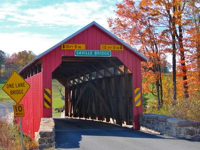
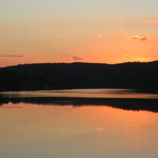
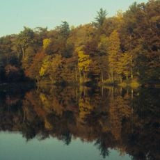
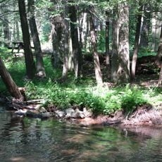
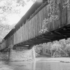
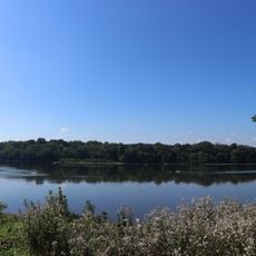
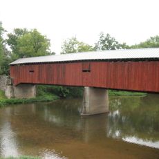
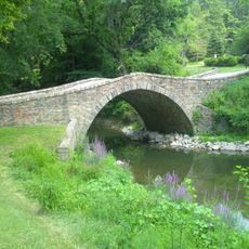
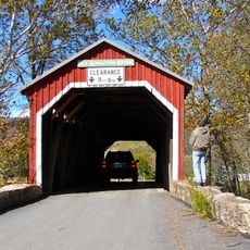
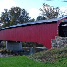
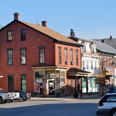
Perry County is an administrative region in south-central Pennsylvania that spans rolling Appalachian terrain with dense woodlands and river valleys throughout. Several small towns and communities dot the landscape, surrounded by farmland and natural areas.

History

The region was established as a separate county in 1820 when it split from Cumberland County and was named after Oliver Hazard Perry, a naval officer from the War of 1812. It has since developed as a blend of farming and forestry.

Culture

Multiple public school districts, including Greenwood, Newport, and Susquenita, provide education services to the county's 45,842 residents.

Practical

The area is accessible via several roads and offers entry to various state parks and natural areas for outdoor activities. Visitors should keep in mind that some rural areas are less developed, and planning ahead is recommended when exploring.

Did you know?

The area is home to several state parks including Fowlers Hollow and Big Spring, which offer trails and wildlife viewing opportunities. These protected spaces draw both locals and visitors seeking time in nature.

Location
Inception
March 22, 1820
Capital city
Bloomfield
Shares border with
Juniata County, Northumberland County, Dauphin County, Cumberland County, Franklin County
GPS coordinates
40.40000,-77.27000
Latest update
December 20, 2025 13:44

AroundUs brings together thousands of curated places, local tips, and hidden gems, enriched daily by 60,000 contributors worldwide. Discover all places nearby (Pennsylvania).

Around this place
Carlisle Indian Industrial School
United States of America

Carlisle Indian Industrial School

22.7 km
Main Line of Public Works
United States of America

Main Line of Public Works

33.8 km
Port Royal Speedway
United States of America

Port Royal Speedway

18.2 km
U.S. Army Heritage and Education Center
United States of America

U.S. Army Heritage and Education Center

23.4 km
Little Buffalo State Park
United States of America

Little Buffalo State Park

10 km
Colonel Denning State Park
United States of America

Colonel Denning State Park

18.8 km
United States of America

Tuscarora State Forest

24.6 km
Fort Granville
United States of America

Fort Granville

35 km
United States of America

Clarks Ferry Bridge

22.1 km
Fowlers Hollow State Park
United States of America

Fowlers Hollow State Park

29.9 km
United States of America

Hoverter and Sholl Box Huckleberry Natural Area

8.2 km
United States of America

Darlington Trail

19.8 km
United States of America

Fort Halifax

29.8 km
Academia Pomeroy Covered Bridge
United States of America

Academia Pomeroy Covered Bridge

20.1 km
Old West, Dickinson College
United States of America

Old West, Dickinson College

22.8 km
Hessian Powder Magazine
United States of America

Hessian Powder Magazine

23.8 km
Irving Female College
United States of America

Irving Female College

30.9 km
Clemson Island Prehistoric District
United States of America

Clemson Island Prehistoric District

28.4 km
Dellville Covered Bridge
United States of America

Dellville Covered Bridge

13.6 km
Adam Orris House
United States of America

Adam Orris House

30.2 km
Old Stone Arch Bridge
United States of America

Old Stone Arch Bridge

31.8 km
Johannes Eberly House
United States of America

Johannes Eberly House

30.5 km
New Germantown Covered Bridge
United States of America

New Germantown Covered Bridge

27.4 km
Carlisle Historic District
United States of America

Carlisle Historic District

23.2 km
Montgomery Ward Building
United States of America

Montgomery Ward Building

33.9 km
State Game Lands Number 256
United States of America

State Game Lands Number 256

11.6 km
Adairs Covered Bridge
United States of America

Adairs Covered Bridge

14.2 km
Newport Historic District
United States of America

Newport Historic District

14.5 km
Show the full map
« Perry County - Administrative county in South Central Pennsylvania, US » is provided by Around Us (aroundus.com). Images and texts are derived from Wikimedia project under a Creative Commons license. You are allowed to copy, distribute, and modify copies of this page, under the conditions set by the license, as long as this note is clearly visible.

Discover hidden gems everywhere you go!

From secret cafés to breathtaking viewpoints, skip the crowded tourist spots and find places that match your style. Our app makes it easy with voice search, smart filtering, route optimization, and insider tips from travelers worldwide. Download now for the complete mobile experience.

Around Us App Screenshot

A unique approach to discovering new places

Le Figaro

All the places worth exploring

France Info

A tailor-made excursion in just a few clicks

20 Minutes

Around Us
Travel Guide & Maps
Download

Send to your phone

QR Code
1

Open the camera app on your mobile.

2

Point at the QR code with your camera. A notification will appear.

3

Tap the notification to open the link.