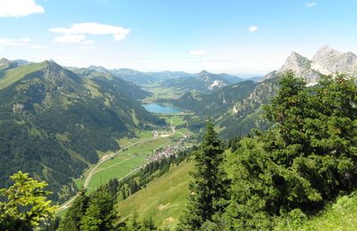
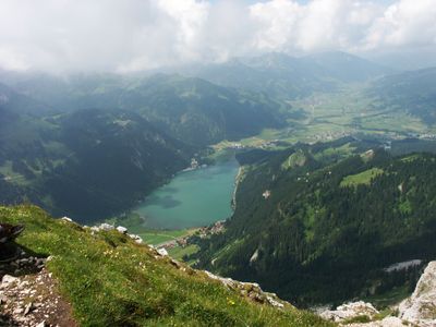
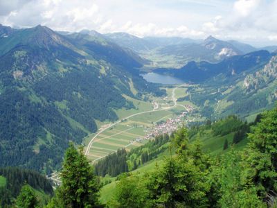
Tannheimer Tal, Alpine valley in Tyrol, Austria.
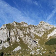
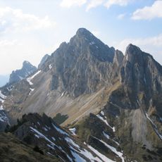
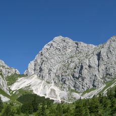
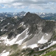
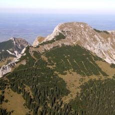
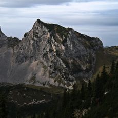
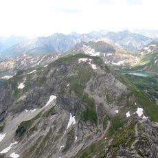
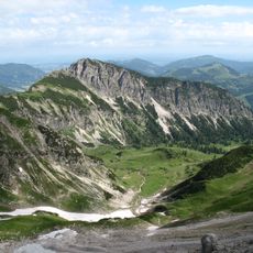
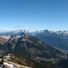
The Tannheimer Tal is an Alpine valley in northern Tyrol that connects six small settlements and is surrounded by high mountain ridges. The valley floor sits around 1100 meters elevation and offers hiking, climbing, and winter skiing throughout the year.
The valley began as an agricultural area in early times but later became an important route for moving goods across the Alps. This passage connected Austrian and German territories and brought economic activity to the region.
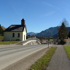
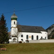
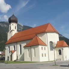
The valley holds traditions rooted in mountain living that shape how locals organize their daily life and community events. Religious customs and seasonal celebrations remain deeply woven into the rhythm of the year.
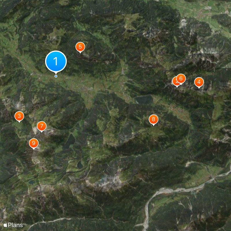
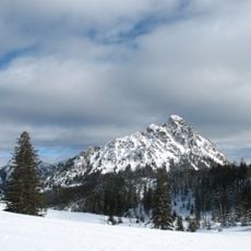
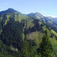
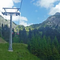
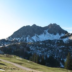
The valley is accessible by car and offers numerous trails for walking and cycling. During winter, maintained ski slopes and cross-country trails serve different ability levels.
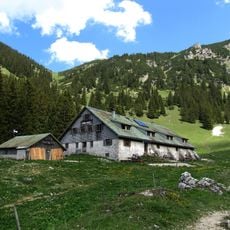
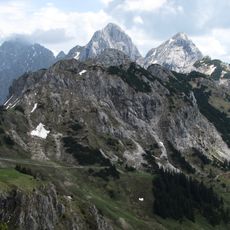
Mountain huts scattered along hiking trails offer visitors a chance to taste traditional Tyrolean specialties while observing local wildlife like marmots. These stops reveal how the region has long connected its culture and livelihood with the alpine environment.
Location: Weißenbach am Lech
Location: Nesselwängle
Location: Grän
Location: Tannheim
Location: Zöblen
Location: Schattwald
Elevation above the sea: 1,092 m
Website: https://tannheimertal.com
GPS coordinates: 47.50650,10.48993
Latest update: December 12, 2025 18:19
Austria extends well beyond Vienna and Salzburg. Away from major tourist routes lie natural monuments and historical sites that reveal the country's geological and cultural heritage. From the Eisriesenwelt ice caves near Werfen to medieval castles such as Hochosterwitz in Carinthia, this collection...
Rote Flüh
9 km
Willersalpe
4.3 km
Kellenspitze
10.6 km
Einstein
2.5 km
Gimpel
9.2 km
Gaishorn
4.2 km
Krinnenspitze
8 km
Rauhhorn
5.6 km
Hahnenkamm
11.8 km
Füssener Jöchle
5.7 km
Lachenspitze
7.7 km
Große Schlicke
10.1 km
Schochenspitze
6.6 km
Schartschrofen
8.5 km
Tannheimer Straße
13.6 km
Traualpsee
6.7 km
Kugelhorn
6.6 km
Expositurkirche Zöblen
853 m
Litnisschrofen
7.1 km
Pfarrkirche St. Nikolaus Tannheim
2.2 km
Rohnenspitze
2.6 km
Babylonischer Turm
10.9 km
Sulzspitze
6 km
Gaichtspitze
12.1 km
Läuferspitze
8.1 km
Pfarrkirche Grän
4.8 km
Pfarrkirche hl. Wolfgang, Schattwald
2.3 km
Pfarrkirche Weißenbach am Lech
13.5 kmVisited this place? Tap the stars to rate it and share your experience / photos with the community! Try now! You can cancel it anytime.
Discover hidden gems everywhere you go!
From secret cafés to breathtaking viewpoints, skip the crowded tourist spots and find places that match your style. Our app makes it easy with voice search, smart filtering, route optimization, and insider tips from travelers worldwide. Download now for the complete mobile experience.
A unique approach to discovering new places❞
— Le Figaro
All the places worth exploring❞
— France Info
A tailor-made excursion in just a few clicks❞
— 20 Minutes