Ludwigsvorstadt-Isarvorstadt

Log in to your account

AroundUs is a community-driven map of interesting places, built by curious explorers like you. It grows with every review, story, and photo you share.
Connect to save your favorite spots, contribute locations, and create personalized routes.
Continue with Google
Continue with Apple
Continue with X
Continue with Facebook
Continue with email
By continuing, you accept our Terms and Conditions and our Privacy Policy
Create an account
Add to collection
Map
Suggest a change
Share

Ludwigsvorstadt-Isarvorstadt, Administrative district in central Munich, Germany.

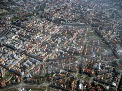
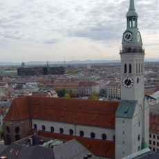
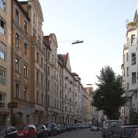
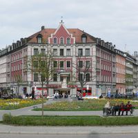
Ludwigsvorstadt-Isarvorstadt is a central Munich district composed of two sections divided by Lindwurmstraße, stretching from the main railway station toward the Isar River. The area combines residential neighborhoods, commercial streets, and green spaces with distinct identities on each side.

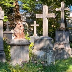
The district developed in the 19th century on foundations of riverside trades, with tanners and millers operating along the Isar banks. Urban growth transformed it into a mixed-use area combining work, commerce, and residence.

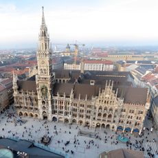
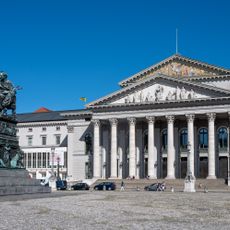
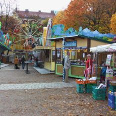
Gärtnerplatz serves as a gathering place for theater audiences and locals, with the State Theater anchoring the square's cultural role. The quarter pulses with activity on performance nights, creating a social hub that reflects Munich's love for the arts.

The area is well connected to Munich's transit system through multiple U-Bahn stations and access to the central railway station. Visitors can walk easily through wide streets with clear navigation, especially toward the main squares and toward the river.

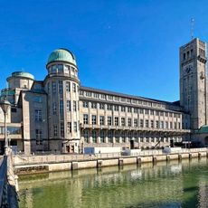
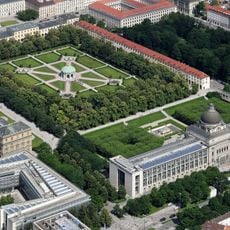
The German Museum occupies its own island in the Isar River, hosting science and technology exhibitions spread across multiple levels. The institution ranks among Europe's largest museums of its kind and draws visitors from worldwide.

Location: Munich

Elevation above the sea: 519 m

Shares border with: Maxvorstadt, Altstadt-Lehel, Au-Haidhausen, Untergiesing-Harlaching, Sendling, Schwanthalerhöhe

Website: https://stadt.muenchen.de/infos/bezirk2_ludwigsvorstadt-isarvorstadt.html

GPS coordinates: 48.12730,11.56480

Latest update: December 7, 2025 19:26

Photos
Reviews

Visited this place? Tap the stars to rate it and share your experience / photos with the community! Try now! You can cancel it anytime.

« Ludwigsvorstadt-Isarvorstadt - Administrative district in central Munich, Germany » is provided by Around Us (aroundus.com). Images and texts are derived from Wikimedia project under a Creative Commons license. You are allowed to copy, distribute, and modify copies of this page, under the conditions set by the license, as long as this note is clearly visible.

Discover hidden gems everywhere you go!

From secret cafés to breathtaking viewpoints, skip the crowded tourist spots and find places that match your style. Our app makes it easy with voice search, smart filtering, route optimization, and insider tips from travelers worldwide. Download now for the complete mobile experience.

Around Us App Screenshot

A unique approach to discovering new places

Le Figaro

All the places worth exploring

France Info

A tailor-made excursion in just a few clicks

20 Minutes