Enable Location

We need your location to show you interesting places around you

Discover nearby places

Find interesting locations and hidden gems around you

Precise directions

Get accurate directions and distances to places

Your location is never shared with other users. It's only used when you tap the location button.

Srinagar district

Log in to your account

Start exploring — it's free

Trusted by 61,536 travelers worldwide

Continue with Google
Continue with Apple
or

We will send you a code to connect

By continuing, you accept our Terms and Conditions and our Privacy Policy

Check your inbox

We've sent a pincode in your inbox. Please enter the code below.

Srinagar district

Srinagar district, Administrative district in Kashmir Valley, India

Description

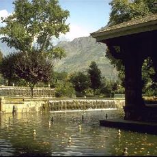
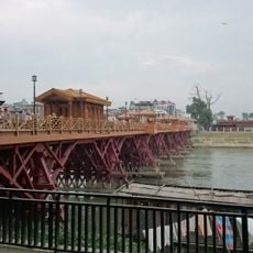
Srinagar district is an administrative area in Kashmir Valley with the city of Srinagar as its main urban center. The territory spans multiple administrative divisions and is crossed by the Jhelum River, which flows through the region.

History

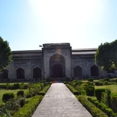
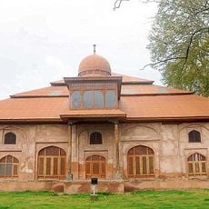
Srinagar developed as the administrative center of the valley and became key to the region's political structure over time. The city's role as a summer capital marked its historical importance and shaped how the district functioned within the larger territory.

Culture

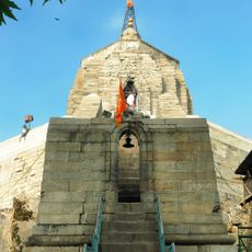
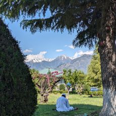
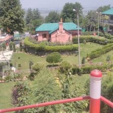
The district centers on Srinagar city, which holds deep cultural roots in the valley's traditions and daily life. Local communities here maintain ties to Kashmiri language and customs that have shaped the region for generations.

Practical

The district is organized into two main administrative zones with facilities like hospitals, schools, and government offices spread throughout. Essential services are accessible across the different administrative areas, making it easy to find what you need.

Did you know?

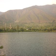
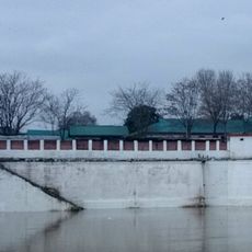
The Hokersar wetland within the district becomes home to thousands of migratory birds from Siberia during winter. This seasonal arrival makes it an important stopover along one of the world's longest bird migration routes.

Location
Capital city
Srinagar
Shares border with
Pulwama district, Anantnag district
GPS coordinates
34.08333,74.83333
Latest update
December 22, 2025 16:32

AroundUs brings together thousands of curated places, local tips, and hidden gems, enriched daily by 60,000 contributors worldwide. Discover all places nearby (Kashmir division).

« Srinagar district - Administrative district in Kashmir Valley, India » is provided by Around Us (aroundus.com). Images and texts are derived from Wikimedia project under a Creative Commons license. You are allowed to copy, distribute, and modify copies of this page, under the conditions set by the license, as long as this note is clearly visible.

Discover hidden gems everywhere you go!

From secret cafés to breathtaking viewpoints, skip the crowded tourist spots and find places that match your style. Our app makes it easy with voice search, smart filtering, route optimization, and insider tips from travelers worldwide. Download now for the complete mobile experience.

Around Us App Screenshot

A unique approach to discovering new places

Le Figaro

All the places worth exploring

France Info

A tailor-made excursion in just a few clicks

20 Minutes

Around Us
Travel Guide & Maps
Download

Send to your phone

QR Code
1

Open the camera app on your mobile.

2

Point at the QR code with your camera. A notification will appear.

3

Tap the notification to open the link.