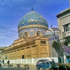
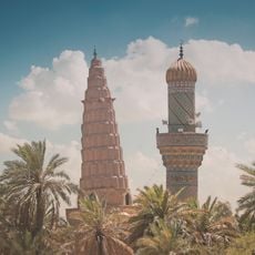
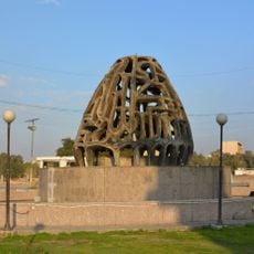
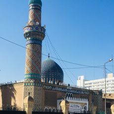
Baghdad Belts, Buffer zone around Baghdad, Iraq.
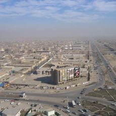
The Baghdad Belts form a ring of residential neighborhoods, farming areas, and industrial zones that surround the capital in all directions. This zone blends urban outskirts with open countryside, creating a transition between city life and rural communities spread across different sectors.
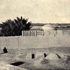
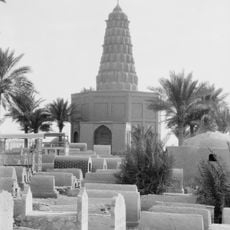
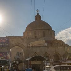
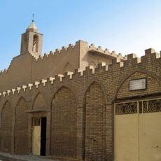
These zones developed over the 20th century as Baghdad expanded and pushed residential and economic activity outward from the center. The area became a focal point of conflict from 2004 to 2007, which reshaped its infrastructure and affected the daily lives of its residents.
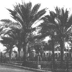
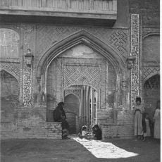
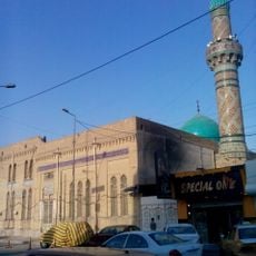
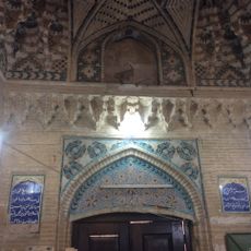
The communities scattered across this zone maintain strong ties to agriculture and rural traditions, which shape how they gather and celebrate together. Local marketplaces remain centers of social life, where people meet to trade goods and exchange news in ways that reflect generations of custom.
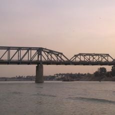
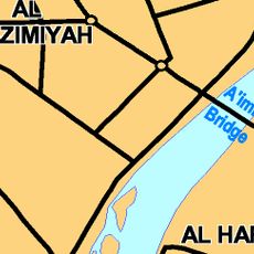
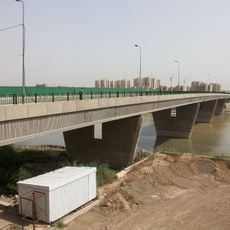
The zone is accessible via multiple main highways that connect its different sections and lead to central Baghdad and other provinces. Conditions vary significantly between major roads and side areas, so planning your route and checking current conditions is advisable.
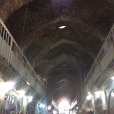
This zone functions as an economic bridge between the capital and surrounding provinces, with roads and trade networks that connect city and countryside. The flow of goods and people through these channels makes it a vital crossroads for regional commerce and movement.
The community of curious travelers
AroundUs brings together thousands of curated places, local tips, and hidden gems, enriched daily by 60,000 contributors worldwide.