Enable Location

We need your location to show you interesting places around you

Discover nearby places

Find interesting locations and hidden gems around you

Precise directions

Get accurate directions and distances to places

Your location is never shared with other users. It's only used when you tap the location button.

Log in to your account

Start exploring — it's free

Trusted by 62,023 travelers worldwide

Continue with Google
Continue with Apple
or

We will send you a code to connect

By continuing, you accept our Terms and Conditions and our Privacy Policy

Check your inbox

We've sent a pincode in your inbox. Please enter the code below.

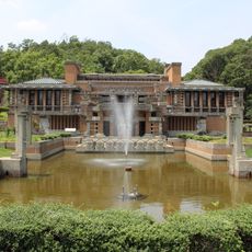
Owari Province, Historical province in Tōkaidō, Japan

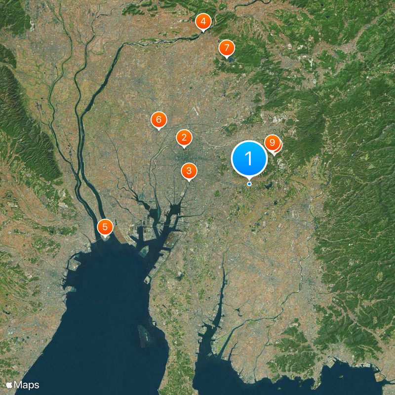
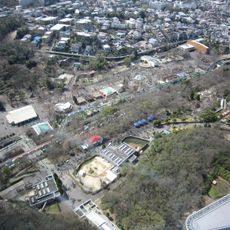
This former administrative region on Honshu stretched from the Sakai River westward through what is now western Aichi Prefecture, reaching the borders with Mikawa to the east and Ise to the south. Within its borders lay eleven districts, among them Aichi, Chita, Haguri, and Kasugai, which later formed the basis for modern local government in the area.

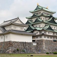
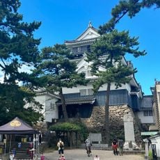
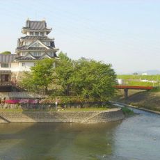
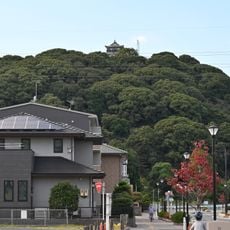
The region was established in 646 as part of the Kokugun system and formed one of Japan's early administrative units. In the 16th century, Oda Nobunaga unified the area from Kiyosu Castle and launched an era that reshaped the political balance of the country.

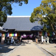
The Atsuta Shrine within the province holds the Kusanagi-no-Tsurugi sword, one of the three Imperial Regalia of Japan.

The area can be traced today through modern district boundaries and historical sites within western Aichi Prefecture. Visitors find informational markers at several locations that explain the original layout and the role this region played within the Tōkaidō route.

The Owari Tokugawa branch, founded by Tokugawa Ieyasu's ninth son, was one of three families with the right to provide a shogun if the main line lacked an heir. This position gave the region political weight far beyond its borders.

The community of curious travelers

AroundUs brings together thousands of curated places, local tips, and hidden gems, enriched daily by 60,000 contributors worldwide.

Start exploring
Location
Part of
上國, 近國
Shares border with
Mikawa Province, Mino Province, Ise Province
GPS coordinates
35.12167,137.03750
Latest update
December 15, 2025 09:36
« Owari Province - Historical province in Tōkaidō, Japan » is provided by Around Us (aroundus.com). Images and texts are derived from Wikimedia project under a Creative Commons license. You are allowed to copy, distribute, and modify copies of this page, under the conditions set by the license, as long as this note is clearly visible.

Discover hidden gems everywhere you go!

From secret cafés to breathtaking viewpoints, skip the crowded tourist spots and find places that match your style. Our app makes it easy with voice search, smart filtering, route optimization, and insider tips from travelers worldwide. Download now for the complete mobile experience.

Around Us App Screenshot

A unique approach to discovering new places

Le Figaro

All the places worth exploring

France Info

A tailor-made excursion in just a few clicks

20 Minutes

Around Us
Travel Guide & Maps
Download

Send to your phone

QR Code
1

Open the camera app on your mobile.

2

Point at the QR code with your camera. A notification will appear.

3

Tap the notification to open the link.