Bukit Panjang, planning area in Singapore
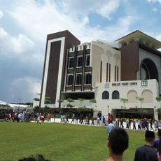
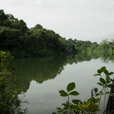
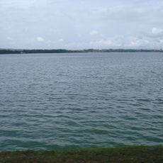
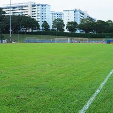
Bukit Panjang is a planning area in western Singapore comprising apartment blocks, shops, and green spaces arranged across multiple neighborhoods. The layout mixes homes and commercial buildings in a structured pattern where daily life unfolds throughout the connected districts.
This area arose during Singapore's westward expansion in the latter 20th century as planners developed new residential zones. The growth transformed formerly open land into a major housing region that shaped urban development patterns.
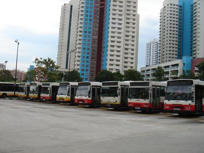
The area connects easily via buses and an MRT station for getting around. Shopping options and services spread throughout the neighborhoods, making it simple to find what you need without traveling far.
The community of curious travelers
AroundUs brings together thousands of curated places, local tips, and hidden gems, enriched daily by 60,000 contributors worldwide.