Santiam Pass, Mountain pass in Linn County, Oregon, United States
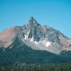
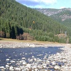
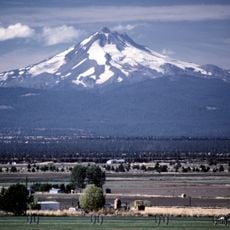
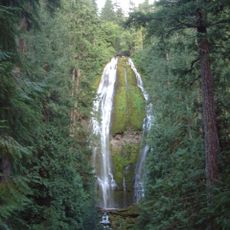
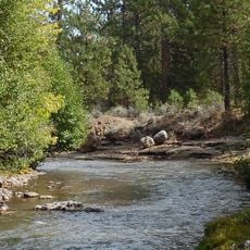
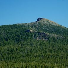
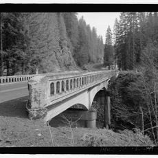
Santiam Pass is a mountain crossing in Linn County that rises to 1,471 meters (4,827 feet) between Three Fingered Jack to the north and Mount Washington to the south. The McKenzie Pass-Santiam Pass Scenic Byway runs through this area, linking eastern Oregon with the Santiam River valley in the west.
Andrew Wiley discovered the pass in 1859 while leading an expedition to find a cattle route between Willamette Valley and Central Oregon. This discovery opened a new route across the Cascade Range for settlers and ranchers.
The pass takes its name from the Santiam people, a Kalapuyan group who lived in the Santiam River area before being relocated. Their heritage is tied to the landscape that travelers cross today.
The area receives heavy snowfall that makes the pass difficult to access during winter months. The best time to visit is from May through October, when roads are typically clear and passable.
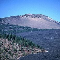
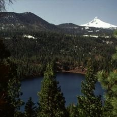
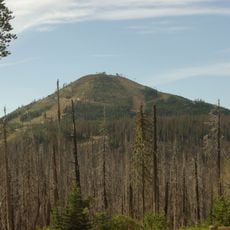
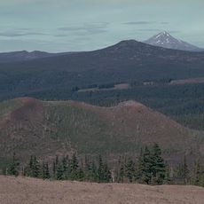
The pass receives around 451 inches (1,145 centimeters) of snowfall annually and contains several small volcanoes, cinder cones, and tuyas near its summit. These volcanic features make the terrain geologically distinctive and set it apart from other mountain passes in the region.
The community of curious travelers
AroundUs brings together thousands of curated places, local tips, and hidden gems, enriched daily by 60,000 contributors worldwide.