Fichtelgebirge, Mountain range in northeastern Bavaria, Germany
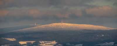
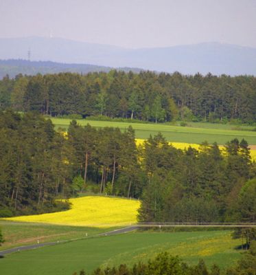
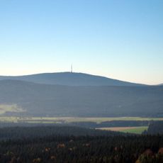
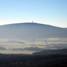
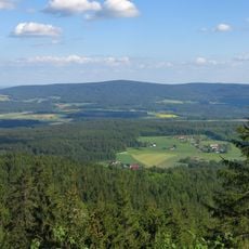
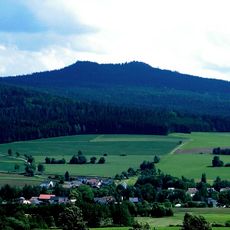
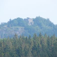
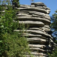
This granite range forms a horseshoe shape in northeastern Bavaria, with the Schneeberg rising to 3448 feet (1051 meters) and the Ochsenkopf reaching 3360 feet (1024 meters). Forests cover most slopes, while open plateaus and rounded summits mark the upper sections, connected by broad valleys and gentle ridges.
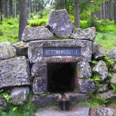
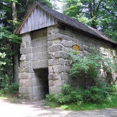
Miners worked these hills for gold, tin, and iron from the Early Middle Ages onward, and small settlements grew around the shafts and forges. After the Thirty Years' War, many operations closed, and the region shifted toward farming and forestry.
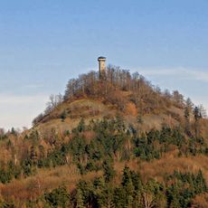
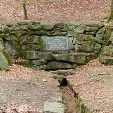
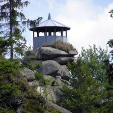
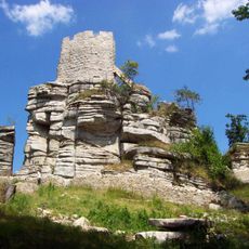
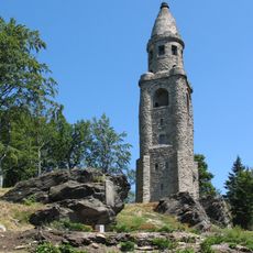
Many summits carry names rooted in farming life and local legends, connecting today's visitors to the way people once lived and worked in these hills. Stone markers and summit crosses remain part of the landscape, guiding walkers and expressing ties to the land.
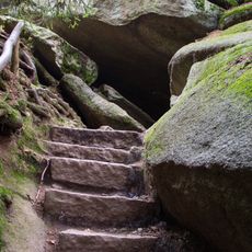
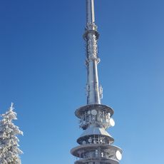
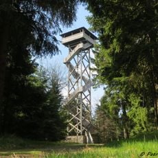
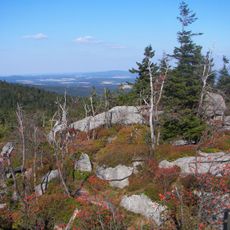
Marked trails lead through forests and over summits, suitable for walkers of different abilities. In winter, several areas open for skiing and other snow activities, offering routes for beginners and more experienced visitors.
Four large rivers begin in these hills: the Eger, Saale, and Main flow toward the North Sea, while the Naab joins the Danube and reaches the Black Sea. This watershed makes the area a rare meeting point of two major drainage systems in central Europe.
The community of curious travelers
AroundUs brings together thousands of curated places, local tips, and hidden gems, enriched daily by 60,000 contributors worldwide.