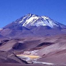
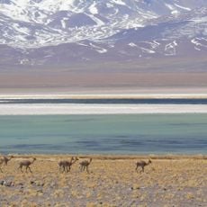
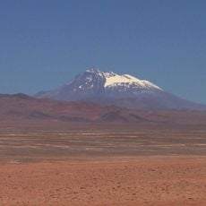
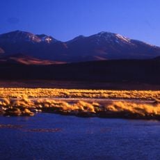
Salar de Agua Amarga, Salt flat in Atacama Region, Chile
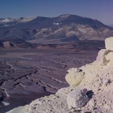
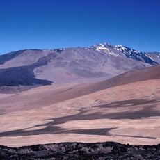
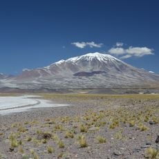
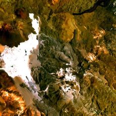
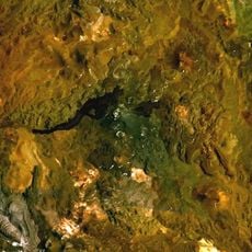
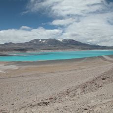
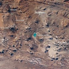
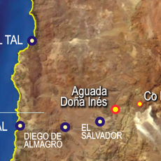
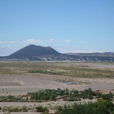
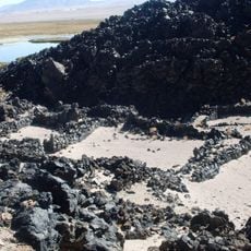
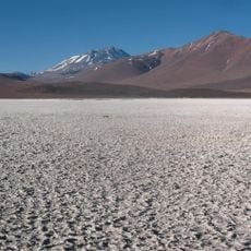
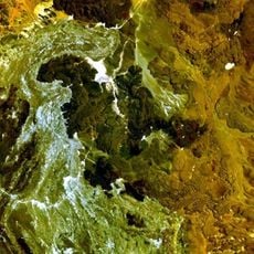
Salar de Agua Amarga is a 23 km² salt flat in the Andean cordillera of the Atacama Region, south of the Punta Negra and Pajonales salt flats. Its surface is a crust of gypsum and halite, brownish where earthy particles colour the gypsum, with "eyes" in the north and poorly defined shallow pools along the east and south edges.
Luis Risopatrón described the salar in his 1924 geographic dictionary, placing it at 25°33'S 68°50'W, about 3,560 m up, south of the Sierra de Gorbea. He noted its water, issuing from the base of the bounding hill at the southern end, was so brackish and bitter that even animals refused to drink it. Earlier maps had labelled it Laguna Amarga or Laguna Amarga o Pajonal.
The salt flat holds geological importance for scientists studying water geochemistry in closed basins of northern Chile's regions I, II, and III.
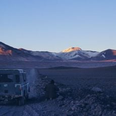
Access is via rough tracks that can become difficult in wet weather. Visitors should bring warm clothing since temperatures are cold and the sun is intense at this elevation.
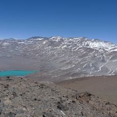
Topographic IGM maps show a large lagoon here that does not exist on the ground: it is a rough gypsum crust coloured brown by earthy particles, an error absent from the geological map. The salt flat lies south of the Punta Negra and Pajonales salt flats, at 3,558 m.
The community of curious travelers
AroundUs brings together thousands of curated places, local tips, and hidden gems, enriched daily by 94,530 contributors worldwide.