
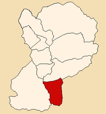
Pueblo Libre, district of the province Huaylas in Peru
Location: Huaylas Province
Elevation above the sea: 2,492 m
Shares border with: Caraz District, Yungay District, Matacoto District, Cascapara District, Quillo District, Pamparomas District
GPS coordinates: -9.11026,-77.80154
Latest update: March 3, 2025 11:44
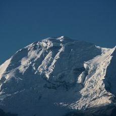
Huascarán
21.7 km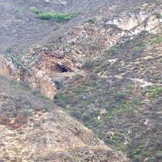
Guitarrero Cave
14.7 km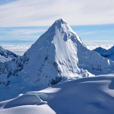
Artesonraju
25.6 km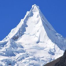
Alpamayo
30.5 km
Huandoy
18.6 km
Chopicalqui
25.2 km
Chacraraju
24.2 km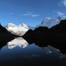
Pisco
21.7 km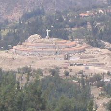
Cristo de Yungay
8.3 km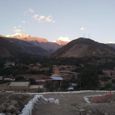
Tumshukayko
7.4 km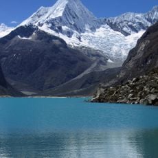
Pirámide
24.9 km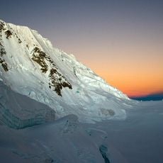
Quitaraju
28.4 km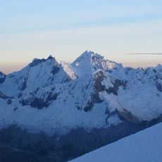
Santa Cruz
26.1 km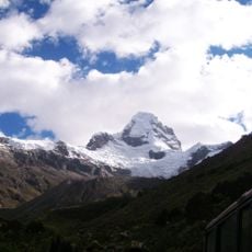
Ulta
30.5 km
Caraz
21.3 km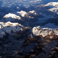
Copa
39.4 km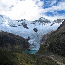
Arhuay Glacier
33 km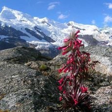
Hualcán
32.7 km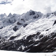
Contrahierbas
34.2 km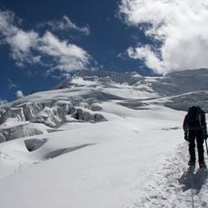
Yanapaccha
26.6 km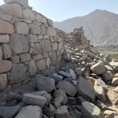
Siete Huacas
42.3 km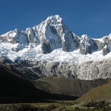
Taulliraju
35 km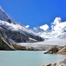
Artesonraju Glacier
26.2 km
Coñocranra
37.4 km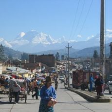
Chequiaraju
27.6 km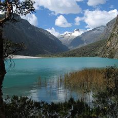
Yanarrajo
24.9 km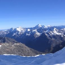
Santa Cruz Creek
21.9 km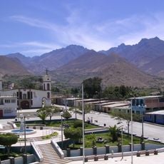
Qarwaqucha
25 kmReviews
Visited this place? Tap the stars to rate it and share your experience / photos with the community! Try now! You can cancel it anytime.
Discover hidden gems everywhere you go!
From secret cafés to breathtaking viewpoints, skip the crowded tourist spots and find places that match your style. Our app makes it easy with voice search, smart filtering, route optimization, and insider tips from travelers worldwide. Download now for the complete mobile experience.

A unique approach to discovering new places❞
— Le Figaro
All the places worth exploring❞
— France Info
A tailor-made excursion in just a few clicks❞
— 20 Minutes