
Ishtarlay District, district in Daykundi Province, Afghanistan
Location: Daykundi
Elevation above the sea: 2,705 m
GPS coordinates: 34.10000,66.31667
Latest update: March 11, 2025 11:07
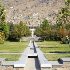
Gardens of Babur
265.3 km
Minaret of Jam
169 km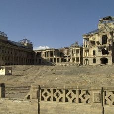
Darul Aman Palace
261 km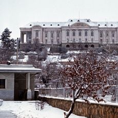
Tajbeg Palace
260.3 km
Band-e Amir National Park
117.6 km
Mundigak
255.4 km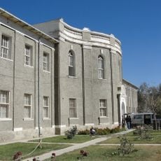
National Museum of Afghanistan
261.1 km
Ghazni Minarets
204.6 km
Bagh-e Bala Palace
263 km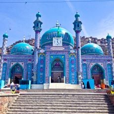
Sakhi Shrine
264.3 km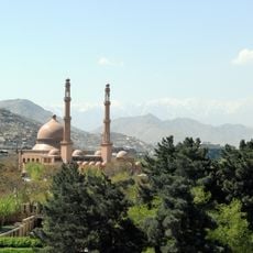
Abdul Rahman Mosque
266.9 km
Citadel of Ghazni
204.2 km
Kabul Zoo
265 km
Shah-Do Shamshira Mosque
266.5 km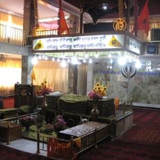
Gurdwara Karte Parwan
263.6 km
Palace of Sultan Mas'ud III
205.3 km
Kabul Tower
266.4 km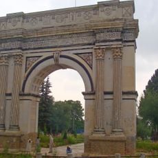
Taq-e Zafar
248.9 km
Paghman Hill Castle
249.9 km
Shahr-e Zuhak, Bamyan
160.1 km
Cultural Landscape and Archaeological Remains of the Bamiyan Valley
160.8 km
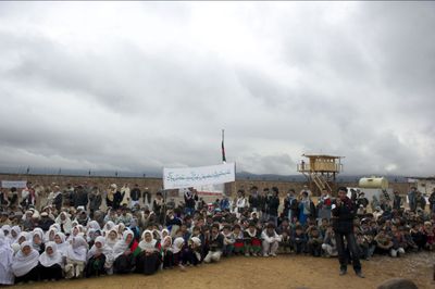
Forward Operating Base Arian
204.7 km
Behzad Cinema
267.2 km
Paropamisus
235.3 km
Forward Operating Base Zeebrugge
264.9 km
Aq Köprük
217.8 km
Shāh Fōlādī
134.5 km
National Gallery of Afghanistan
266.5 kmReviews
Visited this place? Tap the stars to rate it and share your experience / photos with the community! Try now! You can cancel it anytime.
Discover hidden gems everywhere you go!
From secret cafés to breathtaking viewpoints, skip the crowded tourist spots and find places that match your style. Our app makes it easy with voice search, smart filtering, route optimization, and insider tips from travelers worldwide. Download now for the complete mobile experience.

A unique approach to discovering new places❞
— Le Figaro
All the places worth exploring❞
— France Info
A tailor-made excursion in just a few clicks❞
— 20 Minutes