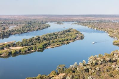
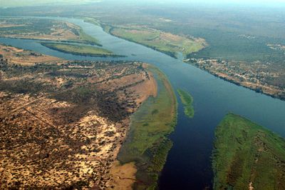
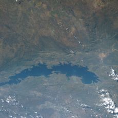
Zambezi River, Major waterway in south-central Africa
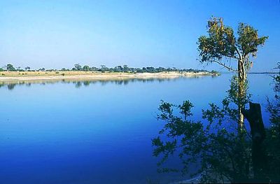
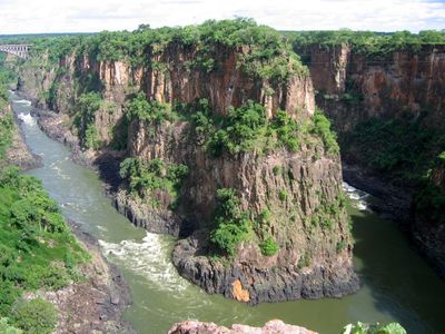
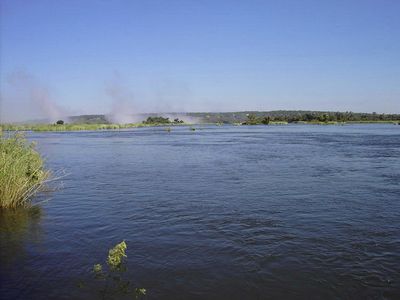
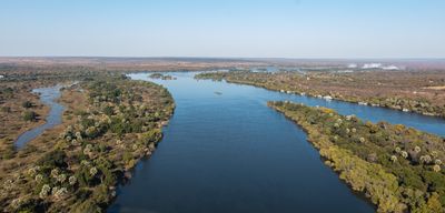
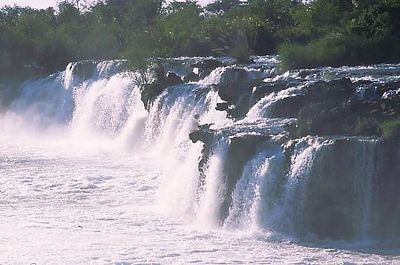
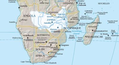
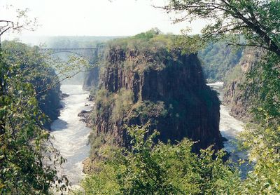
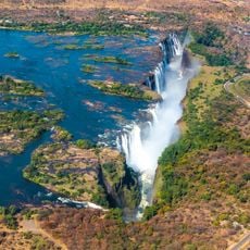
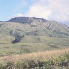
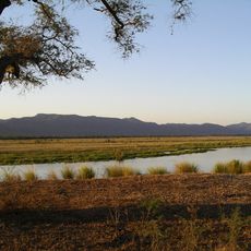
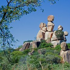
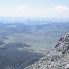
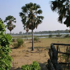
The Zambezi stretches 2,574 kilometers (1,599 miles) through six countries, creating diverse habitats from marshlands to wide floodplains before flowing into the Indian Ocean. Its course passes through high plateaus, deep gorges, and broad valleys, with the landscape changing several times along the way.
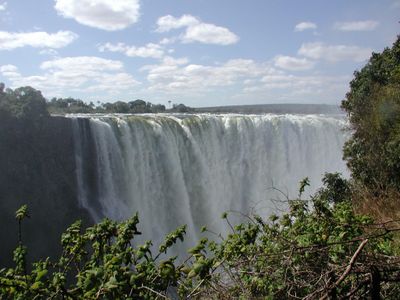
European exploration began in 1498 when Portuguese navigator Vasco da Gama discovered the mouth and named it Rio dos Bons Sinais. Not until the mid-19th century did European travelers map the upper reaches and document the full course of the waterway.
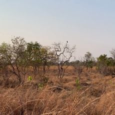
The Tonga people call this waterway the Great River and rely on it for fishing and farming along its banks. Traditional ceremonies take place at certain sections where communities have maintained their connection to the water for generations.
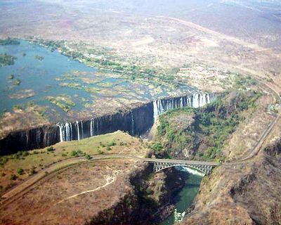
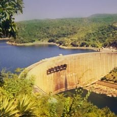
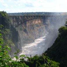
Two large hydroelectric facilities, the Kariba Dam and Cahora Bassa Dam, generate power for several countries including Zambia, Zimbabwe, Mozambique, and South Africa. The reservoirs behind both dams alter water levels and flow along large sections of the waterway.
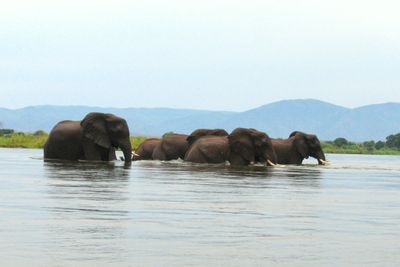
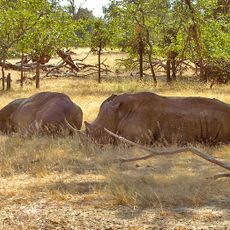
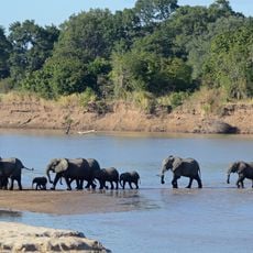
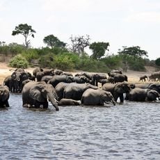
The river system holds the largest recorded population of hippos in Africa and supports more than 200 fish species. Some sections display marked seasonal color changes in the water caused by different sediments and algae types.
The community of curious travelers
AroundUs brings together thousands of curated places, local tips, and hidden gems, enriched daily by 60,000 contributors worldwide.