Cunco, Agricultural center in Cautín Province, Chile
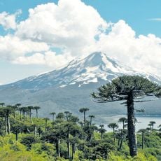
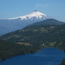
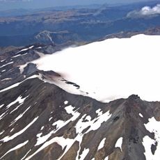
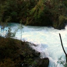
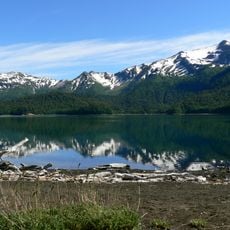
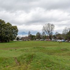
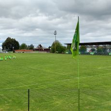
Cunco is a commune in Cautín Province, Araucanía Region, covering approximately 1,900 square kilometers in southern Chile. The landscape is shaped by the Allipén River and Colico Lake, situated at roughly 364 meters elevation.
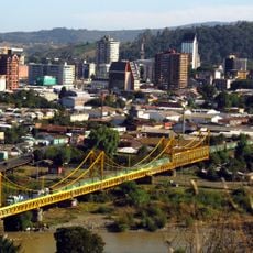
Colonel Gregorio Urrutia founded this place in 1883 as a frontier fort near the Cunco and Nahuelcura marshes, beside the Allipén River. The settlement emerged as part of territorial expansion into the southern regions during that period.
The name Cunco comes from Mapuche language, combining 'cun' meaning dark red and 'co' meaning water, describing water carrying volcanic ash or sediment. Local people use this name when talking about the geographic character of their region.
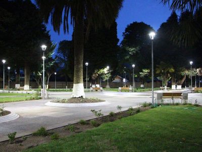
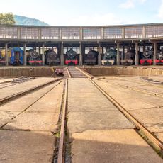
The area is defined by agriculture and small business activity, with limited urban development. Visitors should expect rural infrastructure and adjust to seasonal changes, as road conditions can vary depending on weather.
In April 1918, Argentine pilot Luis Candelaria completed the first aerial crossing of the Andes, landing near this territory. This event marked a landmark moment in early South American aviation history.
Location: Cautín Province
Location: Araucanía Region
Inception: 1918
Elevation above the sea: 364 m
Website: http://municunco.cl
GPS coordinates: -38.91667,-72.03333
Latest update: December 7, 2025 19:28
Conguillío National Park
43.4 km
Llaima
36 km
Huerquehue National Park
40.6 km
Sollipulli
44.8 km
Pablo Neruda Railway Museum
51.2 km
Ojos del Caburgua
40.3 km
Sierra Nevada
53.9 km
Mercado Modelo
52.1 km
Cautín railway bridge
51.5 km
Museo Regional de la Araucanía
53.3 km
Puente ferroviario Toltén
52.5 km
St. Joseph Cathedral, Temuco
52.2 km
Casino de Pucón
40 km
Sitio de Villarrica
43.6 km
Torre Campanario
52.2 km
Villarrica National Reserve
45.1 km
Termas Huife
47.5 km
Estadio Municipal de Villarrica
44.5 km
Monument to Caupolicán (Temuco)
52.8 km
Cathedral of the Sacred Heart, Villarrica
43.5 km
Plaza Teniente Dagoberto Godoy
52.9 km
Cuevas volcánicas Villarrica
51.5 km
Volcanic Caves Park
51.5 km
Biblioteca Municipal Galo Sepúlveda Fuentes
52.4 km
Cerro Ñielol Natural Monument
48.9 km
Capilla de San Conrado
9.9 km
Paseo de la Memoria Herida de Villarrica
43.2 km
Memorial de Detenidos Desaparecidos y Ejecutados Políticos de la Región de la Araucanía
53.3 kmVisited this place? Tap the stars to rate it and share your experience / photos with the community! Try now! You can cancel it anytime.
Discover hidden gems everywhere you go!
From secret cafés to breathtaking viewpoints, skip the crowded tourist spots and find places that match your style. Our app makes it easy with voice search, smart filtering, route optimization, and insider tips from travelers worldwide. Download now for the complete mobile experience.
A unique approach to discovering new places❞
— Le Figaro
All the places worth exploring❞
— France Info
A tailor-made excursion in just a few clicks❞
— 20 Minutes