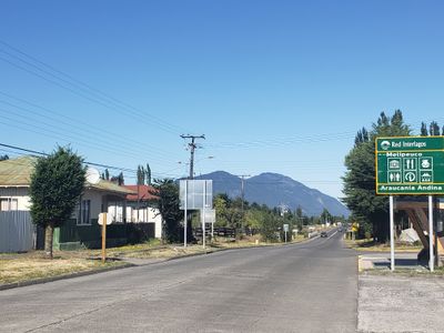
Melipeuco, Administrative center in Cautín Province, Chile
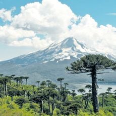
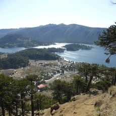
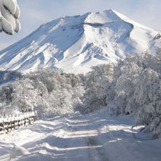
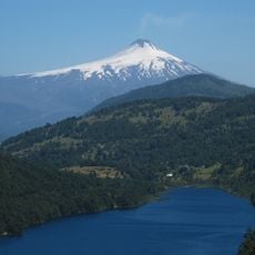
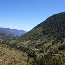
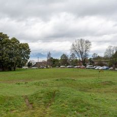
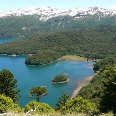
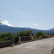
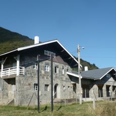
Melipeuco is a small town nestled at the base of the Andes in the Araucanía Region, sitting at about 912 meters elevation. The settlement spreads across a green valley surrounded by mountains and serves as a hub for the surrounding rural communities.
The settlement developed in the rural Araucanía region and was officially established as a commune in 1981. This recognition formalized local administration and enabled better infrastructure development for the area.
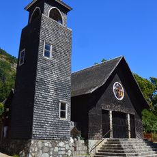
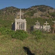
Mapuche communities in this region maintain their heritage through local celebrations and traditional crafts that are visible at markets and in the surrounding areas. The indigenous influence shapes daily life and the character of the place.
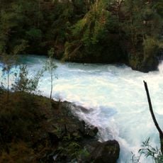
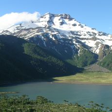
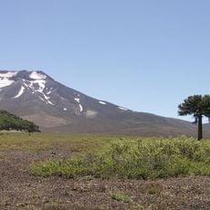
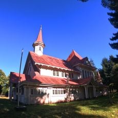
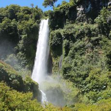
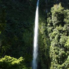
The town serves as a convenient base for visitors wanting to explore the nearby mountains and national parks, with easy access to hiking trails and nature reserves. Several accommodation options in the area cater to different budgets and preferences for extended stays.
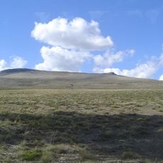
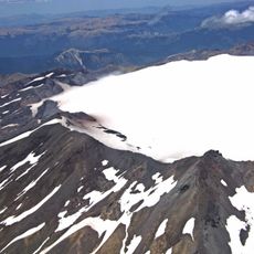
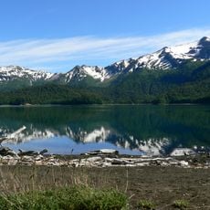
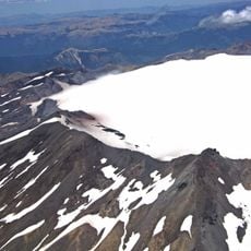
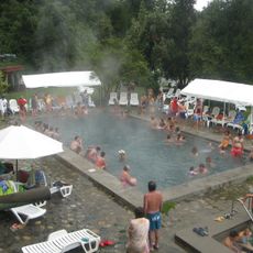
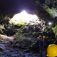
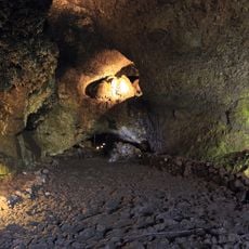
High in the mountains above the town are volcanic calderas with natural hot springs, their waters ranging between 40 and 70 degrees Celsius. These geothermal features are rarely visited treasures for travelers interested in venturing beyond typical routes.
The community of curious travelers
AroundUs brings together thousands of curated places, local tips, and hidden gems, enriched daily by 60,000 contributors worldwide.