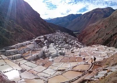
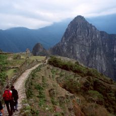
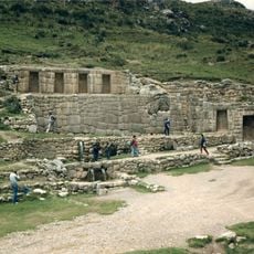
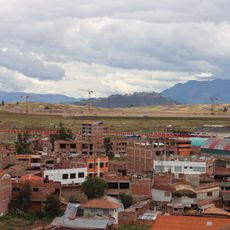
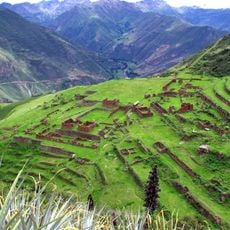
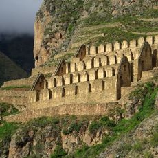
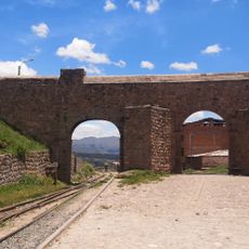
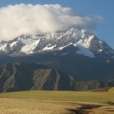
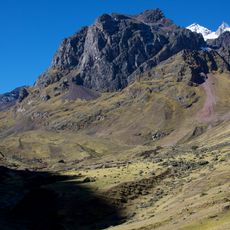
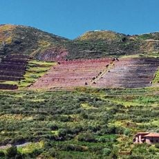
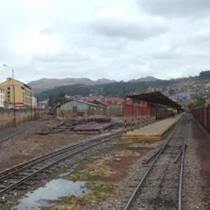
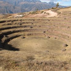
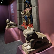
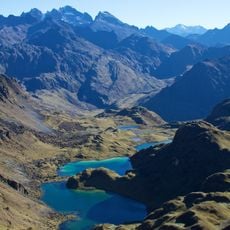
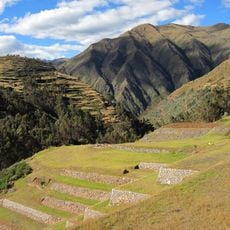
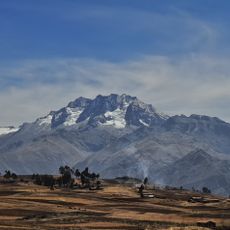
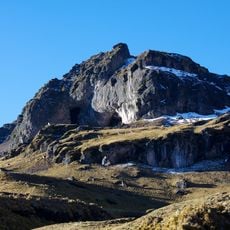
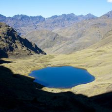
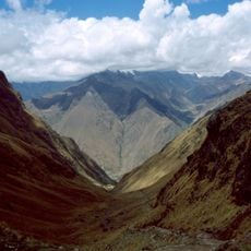
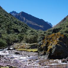
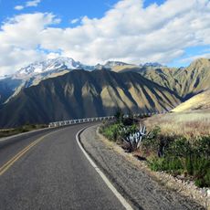
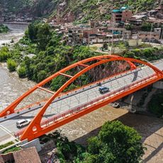
Maras District, district in Cusco, Peru
Location: Urubamba Province
Inception: January 2, 1857
Capital city: Maras
Elevation above the sea: 3,385 m
Shares border with: Ollantaytambo District, Urubamba District, Huayllabamba District, Chinchero District, Anta District, Huarocondo District
Website: http://munimaras.gob.pe
GPS coordinates: -13.33611,-72.15662
Latest update: March 2, 2025 23:28
Inca Trail to Machu Picchu
14.5 km
Moray
4.4 km
Tambomachay
26.3 km
Aeropuerto Internacional de Chinchero
11.4 km
Huchuy Qosqo
23.2 km
Choquequilla
9.5 km
Urco
18.7 km
Arco de Tica Tica
25.1 km
Chicon
15.7 km
Sahuasiray
22.7 km
Ancasmarca
20.8 km
Machu Qullqa
10.6 km
Sinqa
21.2 km
Pitusiray
19.6 km
Inkariy Museum
17.9 km
Pumahuanca
16.6 km
Hatun Luychu
16.8 km
Chaquicocha
14.2 km
Canchacanchajasa
20.5 km
Huarocondo River
9.7 km
Pucaorjo
23.3 km
Mount Wayanay
24.4 km
Sirihuani
19.6 km
Huamanchoque
18 km
Volcán Lares
14.3 km
Puente Urubamba-Cusco
5.7 km
Huch'uy Qusqu
23.2 km
Reviews
Visited this place? Tap the stars to rate it and share your experience / photos with the community! Try now! You can cancel it anytime.
Discover hidden gems everywhere you go!
From secret cafés to breathtaking viewpoints, skip the crowded tourist spots and find places that match your style. Our app makes it easy with voice search, smart filtering, route optimization, and insider tips from travelers worldwide. Download now for the complete mobile experience.
A unique approach to discovering new places❞
— Le Figaro
All the places worth exploring❞
— France Info
A tailor-made excursion in just a few clicks❞
— 20 Minutes