
Cerro Yurachuanca, sommet du Pérou
Location: Lima Department
Elevation above the sea: 4,671 m
GPS coordinates: -11.08361,-76.89250
Latest update: March 16, 2025 09:46
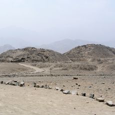
Caral
71.8 km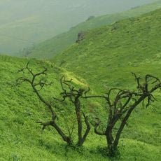
Lomas de Lachay
60.4 km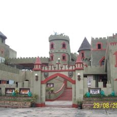
Castle of Chancay
68.5 km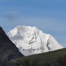
Siula Grande
87.8 km
Junin National Reservation
83.3 km
Bandurria, Peru
76.9 km
Hacienda Huando
54.8 km
Rúpac
28.6 km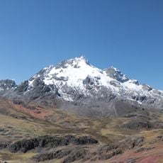
Rajuntay
87.2 km
Casa Hacienda Punchauca
84.4 km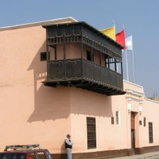
Balcón de Huaura
77.2 km
Ancon
82.3 km
Vichama
81.4 km
Warawtampu
79.1 km
Huayllay National Sanctuary
61.8 km
Zona reservada Ancón
80.6 km
Pumpu
69.2 km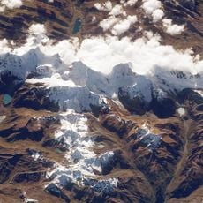
Cordillera Huayhuash Reserved Zone
78.9 km
Regional Conservation Area of System of Hills of Lima
73.9 km
Auxilio
87 km
Aguar
29.8 km
Huaura Museum
77.2 km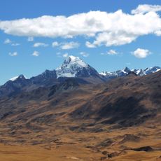
Huacshash
75.1 km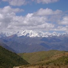
Huacrish
87.7 km
Goñicutac
83 km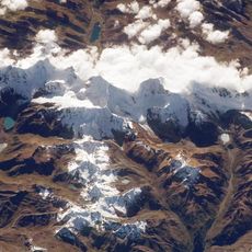
Jullutahuarco
84.9 km
Qullqan
72.1 km
Municipal Bibliotecary Zoíla Casas Calderón
82.9 kmReviews
Visited this place? Tap the stars to rate it and share your experience / photos with the community! Try now! You can cancel it anytime.
Discover hidden gems everywhere you go!
From secret cafés to breathtaking viewpoints, skip the crowded tourist spots and find places that match your style. Our app makes it easy with voice search, smart filtering, route optimization, and insider tips from travelers worldwide. Download now for the complete mobile experience.

A unique approach to discovering new places❞
— Le Figaro
All the places worth exploring❞
— France Info
A tailor-made excursion in just a few clicks❞
— 20 Minutes