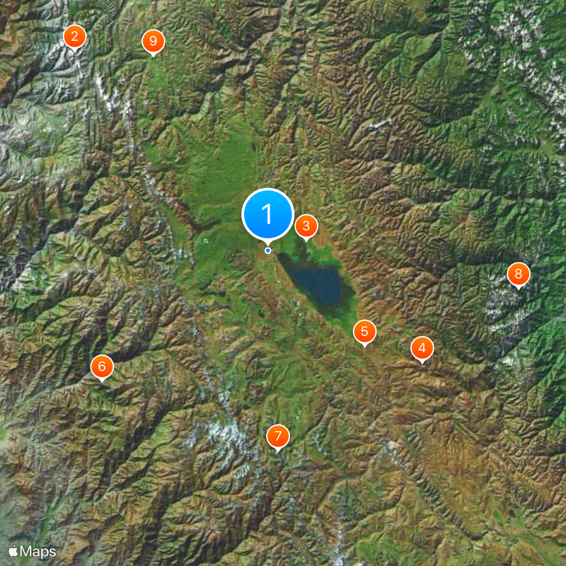
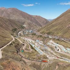
Mantaro River, River system in central Junín, Peru
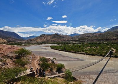
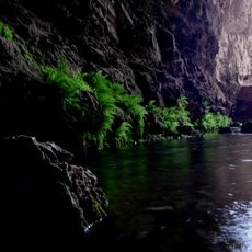
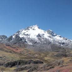
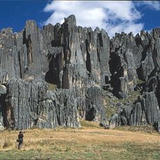
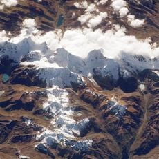
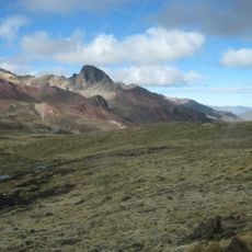
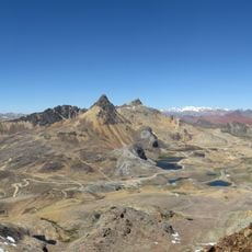
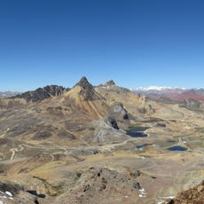
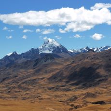
The Mantaro is a river system in Peru's central regions that flows roughly 800 kilometers from Lake Junín toward the Apurímac River. It descends about 3600 meters in elevation, creating different water conditions and landscapes as it moves through mountain valleys and lower terrain.
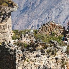
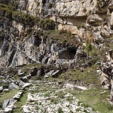
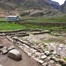
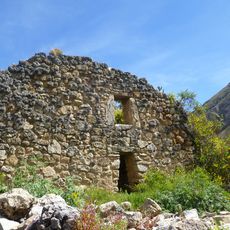
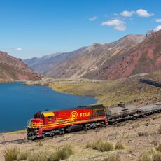
The river supported Pre-Columbian civilizations through irrigation systems that allowed farming in the mountain regions. It also served as a travel and trade route, connecting distant mountain communities and facilitating exchange of goods and ideas.
The river holds deep meaning for Quechua communities who called it Hatunmayu, meaning great river. The Asháninka people shaped its current name, and their connection to the water remains visible in how local communities live along its banks today.
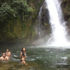
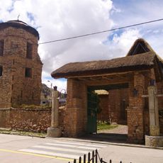
The best time to visit is between May and October, when water levels are lower and conditions for activities like kayaking and hiking are favorable. Multiple access points exist along the river, and the region offers good opportunities to observe local wildlife and natural features.
Scientific research identified the river as a potential primary source of the Amazon system based on water flow patterns and geological characteristics. This finding highlights how the region's role in one of the world's largest river networks is often overlooked by visitors.
The community of curious travelers
AroundUs brings together thousands of curated places, local tips, and hidden gems, enriched daily by 60,000 contributors worldwide.