
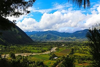
Chontabamba, district in Pasco, Peru
Location: Oxapampa Province
Inception: November 27, 1944
Elevation above the sea: 1,900 m
Shares border with: Ulcumayo District, Paucartambo, Huachón, Huancabamba, Oxapampa District
GPS coordinates: -10.60346,-75.43926
Latest update: March 8, 2025 19:03
Kotosh
118.5 km
Junin National Reservation
84.6 km
Huagapo
83.2 km
Chacamarca Historical Sanctuary
89.6 km
Velo de la Novia, Perené
45.5 km
Pampa Hermosa National Sanctuary
48.4 km
Tunanmarka
125.5 km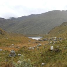
Pui Pui Protection Forest
84.2 km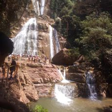
Catarata Bayoz
45.4 km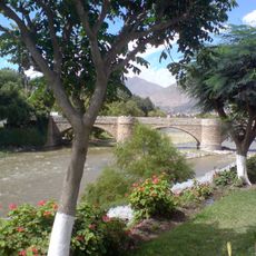
Puente Calicanto
115.1 km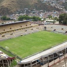
Estadio Heraclio Tapia
115.7 km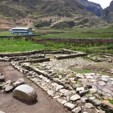
Warawtampu
121.1 km
Yanesha Communal Reserve
44.2 km
San Matías–San Carlos Protection Forest
49.1 km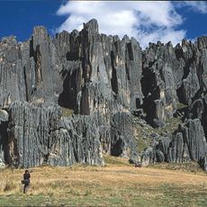
Huayllay National Sanctuary
106 km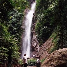
Catarata El Tirol
60.6 km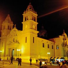
Saint Anne Church (Tarma)
94.9 km
Tarmatambo
100.9 km
Pumpu
98.7 km
Oxapampa-Ashaninka-Yanesha
30 km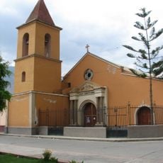
Iglesia de San Cristóbal, Huánuco
115 km
Waqurunchu
54.6 km
Iglesia San Pedro de Ninacaca
78.8 km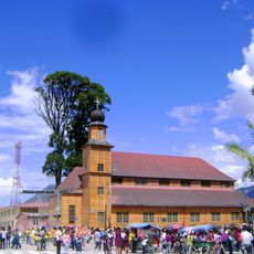
Iglesia Matriz Santa Rosa de Oxapampa
5 km
Shillacoto
115.7 km
Archaeological Center of Ichu Yanuna
97.8 km
Goñicutac
111.4 km
Tunanmarca
125.5 kmReviews
Visited this place? Tap the stars to rate it and share your experience / photos with the community! Try now! You can cancel it anytime.
Discover hidden gems everywhere you go!
From secret cafés to breathtaking viewpoints, skip the crowded tourist spots and find places that match your style. Our app makes it easy with voice search, smart filtering, route optimization, and insider tips from travelers worldwide. Download now for the complete mobile experience.

A unique approach to discovering new places❞
— Le Figaro
All the places worth exploring❞
— France Info
A tailor-made excursion in just a few clicks❞
— 20 Minutes