La Huaca District, district in Piura, Peru
Location: Paita Province
Capital city: La Huaca
Elevation above the sea: 22 m
Shares border with: Amotape District, Arenal District, Colan District, Paita District, Tamarindo District, La Unión District, Ignacio Escudero District, Marcavelica District, Miguel Checa District, La Brea District
GPS coordinates: -4.91005,-80.96170
Latest update: March 4, 2025 09:48
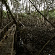
Tumbes Mangals National Sanctuary
182.6 km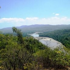
Amotape Hills National Park
94.4 km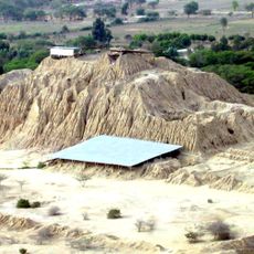
Túcume
217.4 km
Pómac Forest Historical Sanctuary
218 km
Batán Grande
216.4 km
Laquipampa Wildlife Refuge
229.2 km
Arenillas Ecological Reserve
177.3 km
Yacurí National Park
171.9 km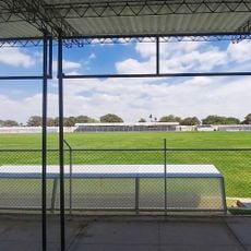
Bernal Municipal Stadium
64.8 km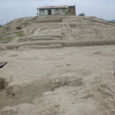
Narihualá
52.6 km
Poechos Reservoir
57.5 km
Estadio Miguel Grau
49.5 km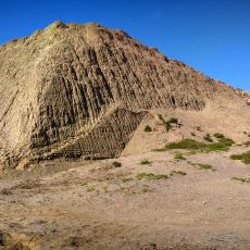
Chotuna-Chornancap
230.4 km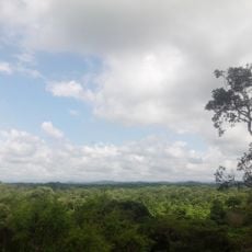
Tumbes National Reserve
134.5 km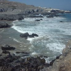
Illescas Reserved Zone
119.4 km
Casa Museo Gran Almirante Grau
49 km
Puente Bolognesi
49.4 km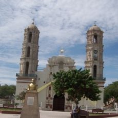
Iglesia San Martín de Tours de Sechura
73.8 km
Iglesia San Juan Bautista, Catacaos
51.3 km
Museo de Sitio Túcume
217.3 km
Church of Our Lady of the Pillar
141.4 km
Jardín botánico Reinaldo Espinosa
162.7 km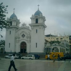
St. Nicholas Cathedral, Tumbes
159.2 km
Sicán National Museum
231 km
La Leche River
205.5 km
Ñaupe River
154.6 km
Macará River
114.5 km
Casa Montjoy
231.3 kmReviews
Visited this place? Tap the stars to rate it and share your experience / photos with the community! Try now! You can cancel it anytime.
Discover hidden gems everywhere you go!
From secret cafés to breathtaking viewpoints, skip the crowded tourist spots and find places that match your style. Our app makes it easy with voice search, smart filtering, route optimization, and insider tips from travelers worldwide. Download now for the complete mobile experience.

A unique approach to discovering new places❞
— Le Figaro
All the places worth exploring❞
— France Info
A tailor-made excursion in just a few clicks❞
— 20 Minutes