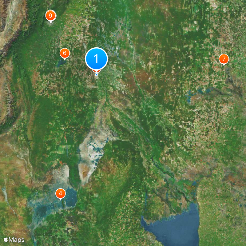
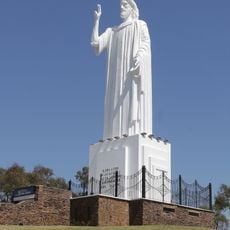
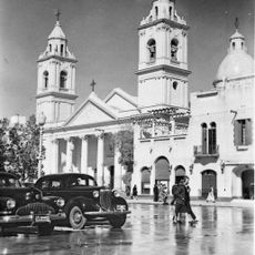
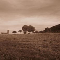
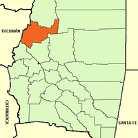
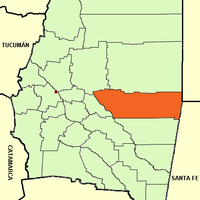
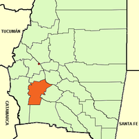
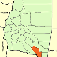
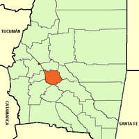
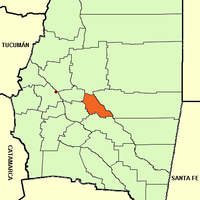
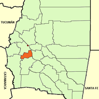
Santiago del Estero Province, Province in northern Argentina
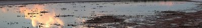
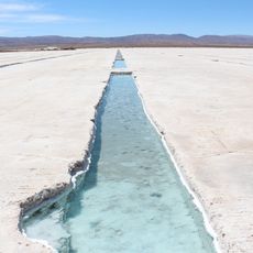
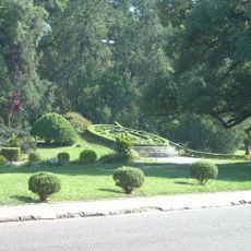
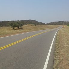
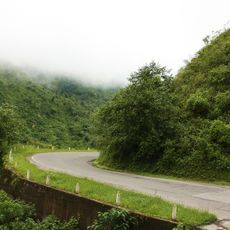
Santiago del Estero is a province in northern Argentina that covers vast dry plains, salt flats, and the valley of the Dulce River. The landscape appears flat and open in many parts, crossed by roads connecting small towns and farmland.
The province became independent in 1820 under Governor Juan Felipe Ibarra, breaking away from other Argentine territories. This autonomy shaped the administration and development of the region over many decades.
Residents here still speak Quechua in everyday life, an indigenous language used by around 100,000 people. This makes the area one of the few places in Argentina where such a linguistic tradition persists.
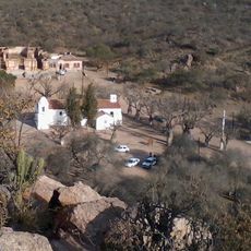
Much of the area is used for farming, with cotton, soybeans, and corn grown on irrigated fields. Visitors can find accommodation in smaller towns and explore the rural surroundings, but should be prepared for long drives between locations.
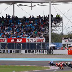
The thermal springs at Río Hondo attract people for their mineral-rich water that reaches temperatures between 30 and 80 degrees Celsius (86 and 176 degrees Fahrenheit). Some visitors use the warm springs for relaxation and their believed benefits for muscles and joints.
The community of curious travelers
AroundUs brings together thousands of curated places, local tips, and hidden gems, enriched daily by 60,000 contributors worldwide.