Pinhalzinho, Municipality in western Santa Catarina, Brazil.
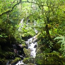
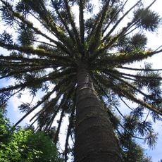
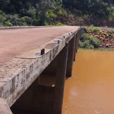
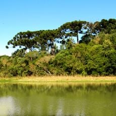
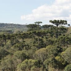
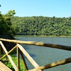
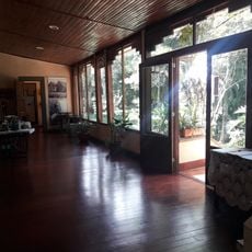
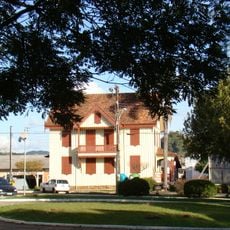
Pinhalzinho is a municipality in western Santa Catarina characterized by rolling agricultural land and rural communities scattered across the region. The landscape consists primarily of grain farms, pastures, and small food-processing facilities that serve the surrounding area.
The municipality was established in 1961 when it separated from the neighboring municipality of São Carlos following decades of settlement by families from Rio Grande do Sul state. Settlers from the south brought their farming knowledge and shaped early development.
The biennial regional fair showcases local cheeses, wines, and cured meats that visitors can taste and purchase directly from producers. These products reflect how farming traditions shape daily life and identity in the area.
Several higher education institutions operate in the area, providing good facilities and services for visitors and students. It is best to allow time for exploring the rural surroundings, as points of interest are spread across the region.
A grain mill built between 1958 and 1960 by José Klassen became the foundation for regional food processing and transformed how local farmers could sell their crops. This facility remains a symbol of the area's early industrialization and economic growth.
Location: Santa Catarina
Elevation above the sea: 441 m
Shares border with: Modelo, Águas Frias, Nova Erechim, Saudades, Sul Brasil, União do Oeste
GPS coordinates: -26.84778,-52.99194
Latest update: December 7, 2025 20:24
Iguazú National Park
186.8 km
Iguaçu National Park
193.7 km
Moconá Waterfalls
94.6 km
Reserva de la biosfera Yabotí
96.1 km
Estádio Olímpico Colosso da Lagoa
114.8 km
Reserva natural estricta San Antonio
122.3 km
Turvo State Park
98.2 km
Puente Internacional Comandante Rosales
78.3 km
Parque provincial Moconá
94.6 km
Campos Novos Dam
185.1 km
Araucárias National Park
106.1 km
Parque Provincial de la Araucaria
112.8 km
Castelinho
112.8 km
Caçador National Forest
177 km
Sierra de la Victoria
137.1 kmParque provincial Cruce Caballero
105.9 km
Museu do Automobilismo Brasileiro
167.3 km
Mosteiro da Transfiguração
181.1 km
Geoparque Horacio Foerster
142.5 km
Passo Fundo National Forest
181.6 km
Espigão Alto State Park
169.7 km
Mata Preta Ecological Station
88.6 km
Fritz Plaumann State Park
99.3 km
Salto do Yucumã
95.3 km
Cathedral of Erechim
112.7 km
Iguazu National Park
185.8 km
Museo Municipal Adolfo Julio Schwelm
175.8 km
Casa Canônica
183.5 kmVisited this place? Tap the stars to rate it and share your experience / photos with the community! Try now! You can cancel it anytime.
Discover hidden gems everywhere you go!
From secret cafés to breathtaking viewpoints, skip the crowded tourist spots and find places that match your style. Our app makes it easy with voice search, smart filtering, route optimization, and insider tips from travelers worldwide. Download now for the complete mobile experience.
A unique approach to discovering new places❞
— Le Figaro
All the places worth exploring❞
— France Info
A tailor-made excursion in just a few clicks❞
— 20 Minutes