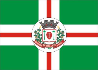
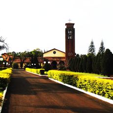
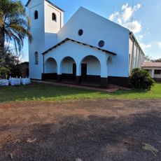
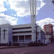
São Miguel do Oeste, Municipal administrative center in Santa Catarina, Brazil.
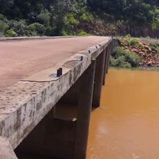
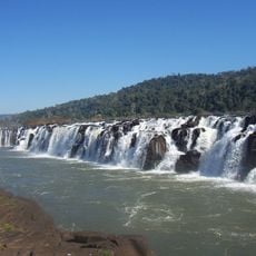
São Miguel do Oeste is a municipality in the highland region of Santa Catarina, established as a settlement area for European immigrants. The town has an airport and road connections linking it to nearby regions, Argentina, Paraguay, and major Brazilian cities.
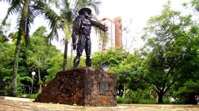
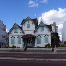
The town was founded in 1954 when German and Italian descendants migrated from Rio Grande do Sul to settle here. This population movement established a new community in southern Brazil's highland region.
The town reflects the heritage of European settlers who arrived generations ago, visible in how locals cook traditional dishes and celebrate seasonal gatherings. These customs shape the rhythm of community life and remain part of everyday practices.
The region experiences significant seasonal temperature changes and regular rainfall throughout the year. Visitors should prepare for variable weather conditions and bring appropriate clothing for both cold and warm periods.
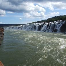
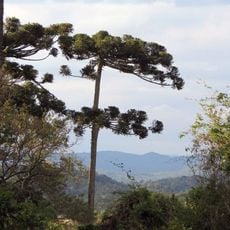
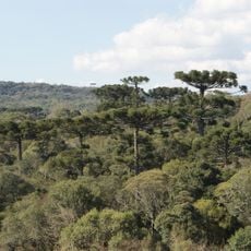
The town sits at a high elevation for the southern Brazilian region, creating distinctive climate patterns found nowhere else nearby. This geographic position shapes local weather patterns and living conditions in ways that differ from lower-lying southern areas.
Location: Santa Catarina
Inception: 1954
Elevation above the sea: 720 m
Shares border with: Descanso, Flor do Sertão, Bandeirante, Barra Bonita, Guaraciaba, Paraíso, Romelândia
Website: http://saomiguel.sc.gov.br
GPS coordinates: -26.72500,-53.51778
Latest update: December 12, 2025 17:47
Iguaçu Falls
146.9 km
Iguazú National Park
147.8 km
Devil's Throat
146.8 km
Iguaçu National Park
147.7 km
Moconá Waterfalls
59.2 km
Reserva de la biosfera Yabotí
51.3 km
Reserva natural estricta San Antonio
83.7 km
Rainforest Ecological Train
148.6 km
Turvo State Park
65.1 km
Puente Internacional Comandante Rosales
24.9 km
Parque Provincial Salto Encantado
135.3 km
Isla de San Martín
147.9 km
Parque provincial Moconá
59.2 km
Araucárias National Park
158.5 km
Parque Provincial de la Araucaria
58.9 km
Castelinho
159.5 km
Sierra de la Victoria
96.6 kmParque provincial Cruce Caballero
53.2 km
Mosteiro da Transfiguração
154.5 km
Geoparque Horacio Foerster
103.5 km
Capilla Santa Cecilia
154.1 km
Mata Preta Ecological Station
133.9 km
Fritz Plaumann State Park
152 km
Salto do Yucumã
60.3 km
Cathedral of Erechim
159.4 km
Iguazu National Park
142.3 km
Museo Municipal Adolfo Julio Schwelm
121.8 km
Salto Paraíso
76.5 kmVisited this place? Tap the stars to rate it and share your experience / photos with the community! Try now! You can cancel it anytime.
Discover hidden gems everywhere you go!
From secret cafés to breathtaking viewpoints, skip the crowded tourist spots and find places that match your style. Our app makes it easy with voice search, smart filtering, route optimization, and insider tips from travelers worldwide. Download now for the complete mobile experience.
A unique approach to discovering new places❞
— Le Figaro
All the places worth exploring❞
— France Info
A tailor-made excursion in just a few clicks❞
— 20 Minutes