Enable Location

We need your location to show you interesting places around you

Discover nearby places

Find interesting locations and hidden gems around you

Precise directions

Get accurate directions and distances to places

Your location is never shared with other users. It's only used when you tap the location button.

Corumbá

Log in to your account

Start exploring — it's free

Trusted by 61,982 travelers worldwide

Continue with Google
Continue with Apple
or

We will send you a code to connect

By continuing, you accept our Terms and Conditions and our Privacy Policy

Check your inbox

We've sent a pincode in your inbox. Please enter the code below.

Corumbá, Border municipality in Mato Grosso do Sul, Brazil.

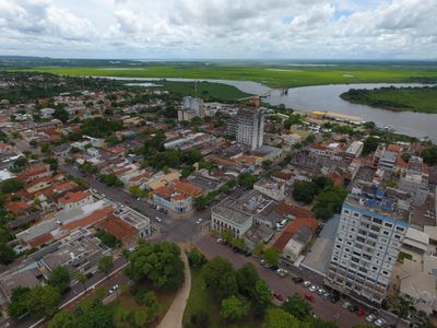
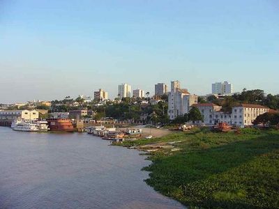
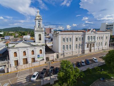
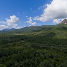
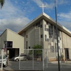
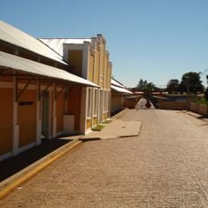
Corumbá is a border municipality in Mato Grosso do Sul in southwestern Brazil, stretching along the Paraguay River. Low buildings dominate the townscape, while the Urucum mountains to the south break the flat terrain and roads lead to the river port and the Bolivian border.

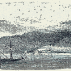
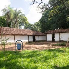
Spanish military forces founded the settlement in 1778 as an outpost to control the region. After 1870 the river opened for international trade and the municipality grew as an important transfer point for goods between Brazil and neighboring countries.

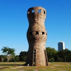
The name comes from a Tupi word for green stones, reflecting the mining heritage of the area. In streets near the border you hear both Portuguese and Spanish, while markets and restaurants offer ingredients and dishes from both countries.

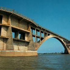
A railway line and an airport connect the municipality with larger Brazilian cities and Bolivia. Visitors can walk through streets near the port to get a sense of the border trade and the river setting.

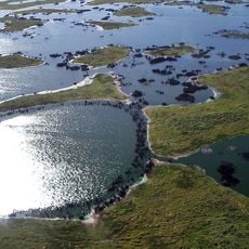
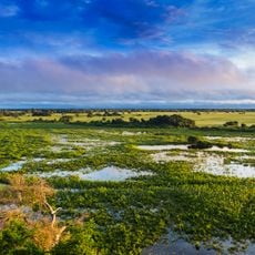
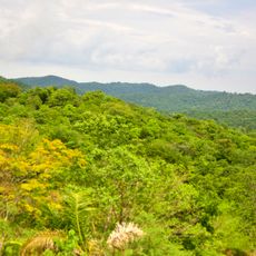
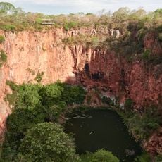
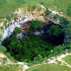
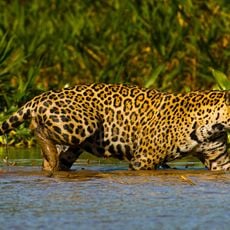
The area serves as a starting point for trips into the Pantanal wetlands, which spread east of town. To the south, manganese mines operate in the Urucum mountains, visible from some viewpoints within the urban area.

The community of curious travelers

AroundUs brings together thousands of curated places, local tips, and hidden gems, enriched daily by 60,000 contributors worldwide.

Start exploring
Inception
1778
Elevation above the sea
118 m
Shares border with
Coxim, Aquidauana, Barão de Melgaço, Bodoquena, Cáceres, Itiquira, Ladário, Miranda, Poconé, Porto Murtinho, Rio Verde de Mato Grosso, Santo Antônio de Leverger, Sonora
GPS coordinates
-19.00889,-57.65278
Latest update
December 13, 2025 16:55
« Corumbá - Border municipality in Mato Grosso do Sul, Brazil » is provided by Around Us (aroundus.com). Images and texts are derived from Wikimedia project under a Creative Commons license. You are allowed to copy, distribute, and modify copies of this page, under the conditions set by the license, as long as this note is clearly visible.

Discover hidden gems everywhere you go!

From secret cafés to breathtaking viewpoints, skip the crowded tourist spots and find places that match your style. Our app makes it easy with voice search, smart filtering, route optimization, and insider tips from travelers worldwide. Download now for the complete mobile experience.

Around Us App Screenshot

A unique approach to discovering new places

Le Figaro

All the places worth exploring

France Info

A tailor-made excursion in just a few clicks

20 Minutes

Around Us
Travel Guide & Maps
Download

Send to your phone

QR Code
1

Open the camera app on your mobile.

2

Point at the QR code with your camera. A notification will appear.

3

Tap the notification to open the link.