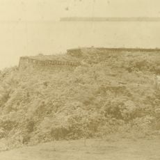
Almeirim, municipality of the state of Pará, Brazil
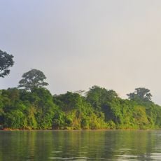
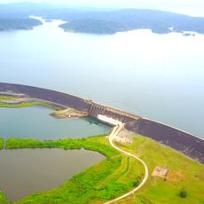
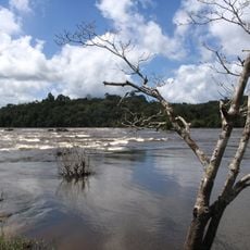
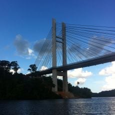
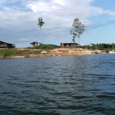
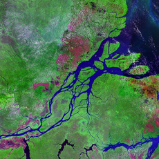
Almeirim is a city in northern Pará situated on the Amazon River, divided into lower and upper sections with different elevations and local characteristics. The lower section lies close to the water while the higher section sits on a hill, and both areas are shaped by constant river traffic with cargo vessels, ferries, and passenger boats moving through daily.
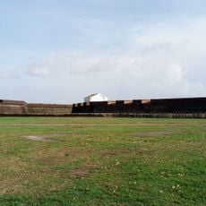
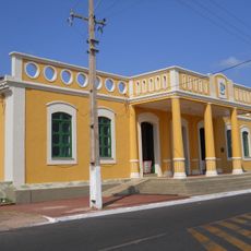
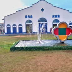
Almeirim began as a trading post along the Amazon River and grew through river commerce and navigation. Early 20th-century buildings still standing in the town reflect its origins as an important transport hub, with architecture and infrastructure built to support the movement of goods and people.
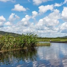
The town's culture is rooted in river life, shaped by a mix of European settlers, indigenous peoples, and migrants from other Brazilian regions. Daily routines center around the waterways, fishing, boat commerce, and seasonal festivals that bring the community together.
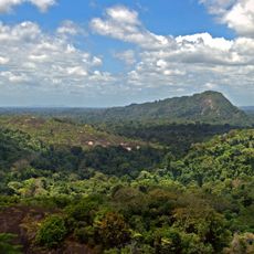
The town is most accessible during drier months when river levels are lower and land routes are easier to navigate. Expect the pace of life to be tied to river activity, with boat schedules and water conditions affecting both transportation and daily routines.
A large Hollywood-style sign spelling out the city's name sits on a hilltop and is visible from the river and distant approaches. This landmark serves as an unmistakable marker for river travelers and adds character to the landscape.
The community of curious travelers
AroundUs brings together thousands of curated places, local tips, and hidden gems, enriched daily by 60,000 contributors worldwide.