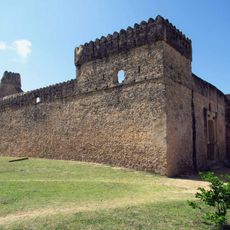
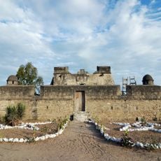
Ruvuma River, Natural boundary river in southeastern Tanzania
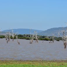
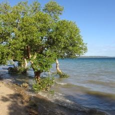
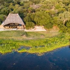
The Ruvuma River runs along the southern border of Tanzania, separating it from Mozambique before emptying into the Indian Ocean. Along its course, the river passes through wooded stretches, over falls, and around small islands, growing much wider as it approaches the coast.
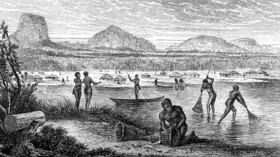
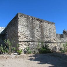
In the 19th century, the river was established as the boundary between German and Portuguese colonial territories in East Africa. During World War I, it became a crossing point where German forces and Allied troops fought for control of the region.
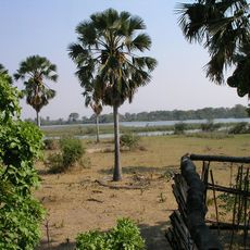
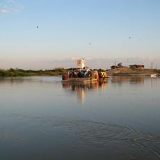
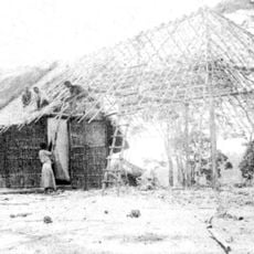
People on both banks fish from the shore and tend small plots near the water, and this daily rhythm gives the river its lived-in quality. Crossing between Tanzania and Mozambique at this point is a routine act for those who live nearby.
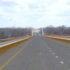
The banks are most accessible during the dry season, when paths are easier to walk and the water level is lower. A concrete bridge connects Tanzania and Mozambique, and walking across it gives a good view of the river from above.
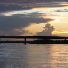
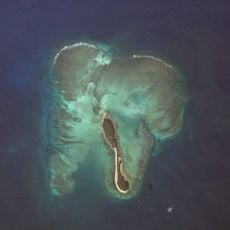
Near its mouth, the river spreads so wide and shallow that it is hard to tell where the river ends and the ocean begins. This gradual merging creates a zone where the water looks more like a coastal lagoon than a river outlet.
The community of curious travelers
AroundUs brings together thousands of curated places, local tips, and hidden gems, enriched daily by 60,000 contributors worldwide.