Anangu Pitjantjatjara Yankunytjatjara
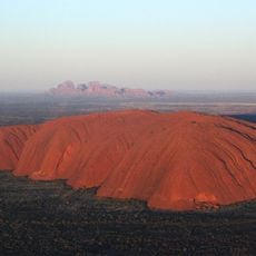
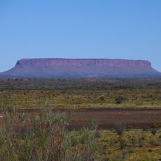
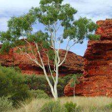
Anangu Pitjantjatjara Yankunytjatjara, Aboriginal local government area in South Australia, Australia
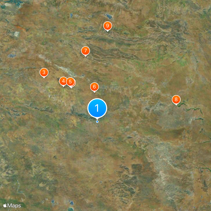
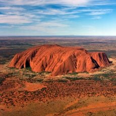
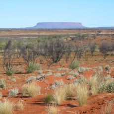
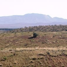
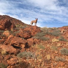
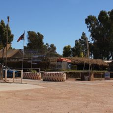
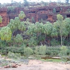
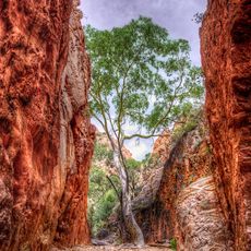
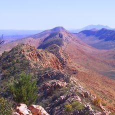
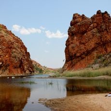
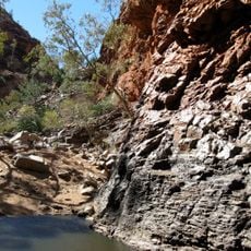
Anangu Pitjantjatjara Yankunytjatjara (APY) is a local government area covering arid land in northwestern South Australia. It functions as an administrative region managed by the indigenous population who call this land home.
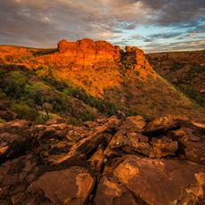
A government reserve was established in 1921 in the northwestern region, forming the foundation for this territory. The land's administrative structure grew out of efforts to define indigenous land rights and governance.
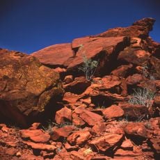
The Pitjantjatjara and Yankunytjatjara languages remain central to daily life and identity here. Many local artists create traditional and contemporary works that reflect the region's deep cultural roots.
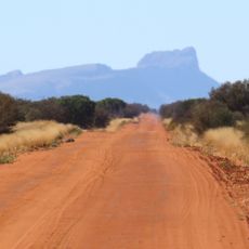
A permit is required before visiting, which can be obtained through official channels in advance. This requirement helps protect the communities and their cultural sites from unplanned disruption.
Over 500 artists work across various art centers in the region, displaying their creations through a collective network. These works blend traditional techniques with contemporary expression in unexpected ways.
Location: South Australia
Inception: 1981
Elevation above the sea: 509 m
Shares border with: Petermann, Ghan, Kaltjiti, Amata, Pukatja, Mimili, Watarru, Murputja, Kanpi, Pipalyatjara, Kalka, SA Remainder, Commonwealth Hill, Tieyon, Iwantja, Ngaanyatjarra-Giles, Beadell
Website: http://waru.org
GPS coordinates: -26.50000,132.00000
Latest update: December 20, 2025 13:49
Uluru
161 km
Outback
260.9 km
Kata Tjuta
184.4 km
Uluṟu-Kata Tjuṯa National Park
165.9 km
Mount Conner
112.4 km
Kings Canyon
253.4 km
Australian Overland Telegraph Line
303.8 km
Mount Zeil
347.3 km
Mount Woodroffe
32.6 km
Henbury Meteorites Conservation Reserve
243.6 km
Dalhousie Springs
347 km
Chambers Pillar
257.3 km
Curtin Springs
135.9 km
Watarrka National Park
253 km
Surveyor Generals Corner
304.5 km
Angas Downs Indigenous Protected Area
165.5 km
Finke Gorge National Park
273 km
Standley Chasm
342.9 km
Witjira National Park
362.1 km
Rainbow Valley Conservation Reserve
291.9 km
Ochre Pits
320.3 km
Tjoritja / West MacDonnell National Park
334 km
Glen Helen Gorge
320.4 km
Mount Liebig
363.2 kmTjunti
308.6 km
Emergency Fire Service
373.2 km
Ewaninga rock carvings
339 km
Serpentine Gorge
322 kmVisited this place? Tap the stars to rate it and share your experience / photos with the community! Try now! You can cancel it anytime.
Discover hidden gems everywhere you go!
From secret cafés to breathtaking viewpoints, skip the crowded tourist spots and find places that match your style. Our app makes it easy with voice search, smart filtering, route optimization, and insider tips from travelers worldwide. Download now for the complete mobile experience.
A unique approach to discovering new places❞
— Le Figaro
All the places worth exploring❞
— France Info
A tailor-made excursion in just a few clicks❞
— 20 Minutes