
Ujung Kulon National Park, National park in western Java, Indonesia
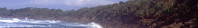
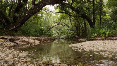
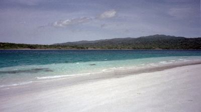
The national park encompasses 120,551 hectares of rainforests, mangroves, coral reefs, and grasslands at the southwestern end of Java island.
The 1883 Krakatoa volcanic eruption cleared the entire area, leading to natural regeneration and the establishment of protection measures in 1992.
Local communities maintain traditional practices in designated zones, working with park authorities to sustain natural resources within the protected boundaries.
Visitors require official guides to explore the park, with access through the town of Labuan by boat or designated hiking trails.
The park serves as the final refuge for Javan rhinoceros populations, with approximately 50 individuals remaining in their natural habitat.
Location: Banten
Location: Lampung
Inception: 1980
Elevation above the sea: 66 m
Website: http://ujungkulon.org
GPS coordinates: -6.75000,105.33333
Latest update: May 26, 2025 19:49
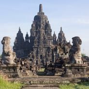
The island of Java showcases an exceptional heritage blending spiritual traditions and natural wonders. The temples of Prambanan and Candi Mendut attest to the grandeur of 9th-century Hindu and Buddhist civilizations, while the Candi Sewu complex reveals sacred architecture organized according to mandala principles. Active volcanoes like Mount Bromo and Kawah Ijen offer striking landscapes, from the smoking crater dominating the black sand plain to turquoise lakes where miners still extract sulfur. Javanese cities combine tradition and modernity: Jakarta features the National Monument on Merdeka Square, Bandung houses the Geology Museum founded in 1928, and Malang surprises with Kampung Biru, whose houses are entirely painted blue. The Seribu Islands extend this diversity into the Java Sea with their coral reefs, while floating markets like in Lembang maintain age-old trading practices. This array of sites invites exploration of Indonesia’s deep spirit, between spirituality, volcanic nature, and human ingenuity.

Great Mosque of Banten
120.7 km
Sunda Strait Bridge
105.6 km
Gunung Karang
95.1 km
Rakata
67.6 km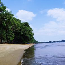
Pantai Carita
75.4 km
Pulosari
84.6 km
Siger Tower
108.7 km
Pantai Marina
88.9 km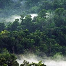
Gunung Halimun
123.7 km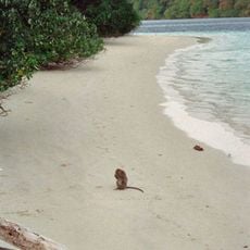
Peucang Island
8.5 km
Gunung Rajabasa
112.8 km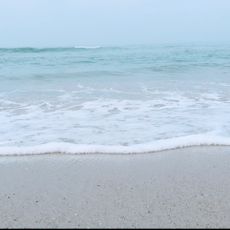
Sawarna Beach
110.7 km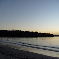
Panaitan Island
22.4 km
Pantai Karangsari
75.4 km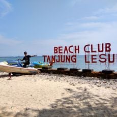
Tanjung Lesung Beach
46.7 km
Rawa Danau Nature Reserve
97.4 km
Cikoneng Lighthouse
97.2 km
Kasunyatan Mosque
119.8 km
Masjid Carita
74.1 km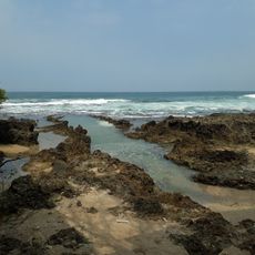
Pantai Cihara
82.3 km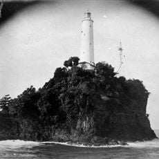
Tanjung Layar Lighthouse
13.2 km
Masjid Caringin
69.9 km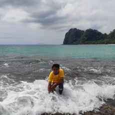
Pantai Pasir Panjang
104.9 km
Pulau Anak Krakatau natural reserve
70.9 km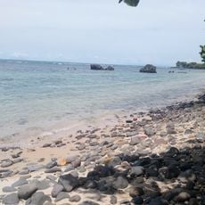
Pantai Matahari
78.4 km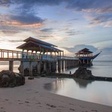
Pantai Bulakan
83.5 km
Pemandian Florida
118.5 km
Pantai Badur
46.9 kmReviews
Visited this place? Tap the stars to rate it and share your experience / photos with the community! Try now! You can cancel it anytime.
Discover hidden gems everywhere you go!
From secret cafés to breathtaking viewpoints, skip the crowded tourist spots and find places that match your style. Our app makes it easy with voice search, smart filtering, route optimization, and insider tips from travelers worldwide. Download now for the complete mobile experience.

A unique approach to discovering new places❞
— Le Figaro
All the places worth exploring❞
— France Info
A tailor-made excursion in just a few clicks❞
— 20 Minutes